Premium Badge Download on the App Store Get it on Google Play Turn-by-turn Navigation Offline Maps Bike Type Optimized Routing Premium Maps Custom Bike Computer Export Routes Route Previews Fall Detection Premium Support

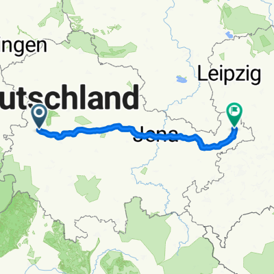
Cycling Route in Eisenach, Free State of Thuringia, Germany

Eisenach/Michelskuppe - Karolinental - Flugplatz Kindel

0
Open this route in the Bikemap app

Open this route in the Bikemap app

Open this route in Bikemap Web

Open this route in Bikemap Web

32 km
Distance
342 m
Ascent
342 m
Descent
-:-- h
Duration
-- km/h
Avg. Speed
--- m
Max. Elevation

About This Route

Ich fahre am Fuß der Michelskuppe los und fahre entlang des Michelsbaches und biege dann nach links auf den Radweg entlang der Hörsel ab. An der Karolinenstr. biege ich links zum Karolinental mit einer steilen Wegführung ab. Dann fahre ich an Gärten vorbei und komme auf die Landstr. nach Hötzelsroda. Am Kreisel wähle ich den Radweg, der Richtung Bad Langensalza führt. In Großenlupnitz zweige ich ab und fahre auf der Landstraße bis kurz vor Wenigenlupnitz, wo ich vor dem Golfplatz abbiege und den landwirtschaftlichen Weg benutze, bis ich die A4 unterquert habe. Dann biege ich rechts ab und fahre parallel zur A4 bis zur Abzweigung zum Industriegebiet Kindel, wo ich bis zum Flugplatz fahre. Mit einer kleinen Abweichung zur Gartenanlage "Am Steingraben" fahre ich die gleiche Strecke zurück.

This cycling route is ideal for: MTB

You will cycle on the following surfaces: Paved Unpaved Gravel

Customize this cycling route with the Bikemap route planner.

Make it yours!

Did you know? You can use this route as a template in our cycling route planner if you don't wish to start from scratch. Customize it based on your needs to plan your perfect cycling tour.

Open it in the app