

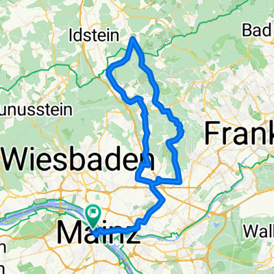
NAHE Mittel-Rheintal Tag 3
A cycling route starting in Mainz, Rhineland-Palatinate, Germany.
Overview
About this route
NAHE Mittel-Rheintal Tag3
Maiz Kastel bis Oberwesel- -:--
- Duration
- 58.8 km
- Distance
- 153 m
- Ascent
- 153 m
- Descent
- ---
- Avg. speed
- ---
- Avg. speed

Route quality
Waytypes & surfaces along the route
Waytypes
Path
18.4 km
(31 %)
Quiet road
11.6 km
(20 %)
Surfaces
Paved
53.3 km
(91 %)
Unpaved
1.5 km
(3 %)
Asphalt
43 km
(73 %)
Paving stones
8.7 km
(15 %)
Route highlights
Points of interest along the route

Photo after 3.2 km
Rheinufer

Photo after 9.4 km
Wiesbaden - Schiersteiner Hafen

Photo after 22.4 km
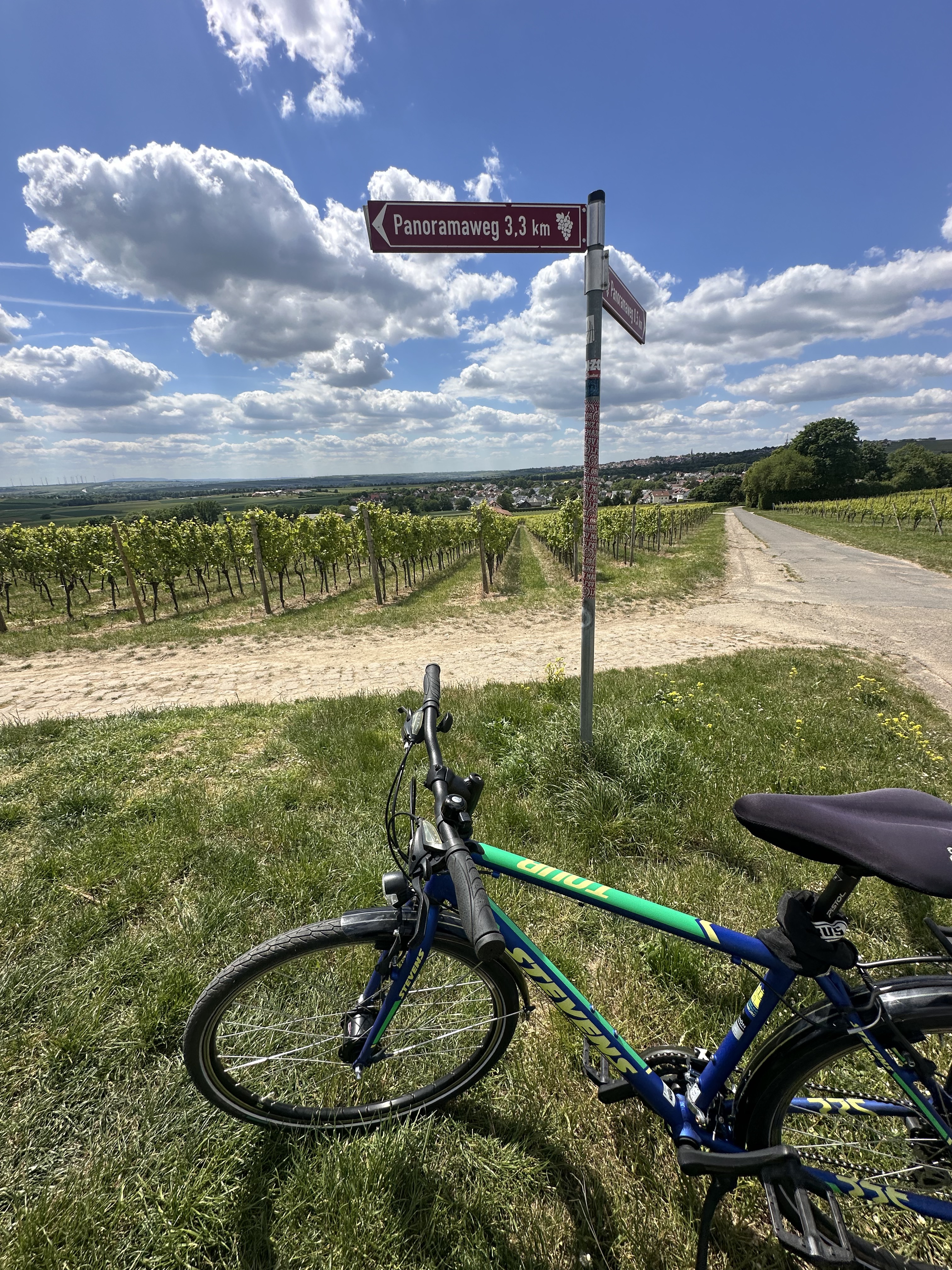
Denkmal

Photo after 31.4 km
Rhein Radweg bei Geisenheim

Photo after 35.3 km

Photo after 36 km
Fähre von Rüdesheim nach Bingen Autofähre ab Rüdesheim: weiter alle 15 Minuten bis 20.30 Uhr 2,50 € für Person mit Fahrrad.

Accommodation after 39.1 km
Geniesserei Alte Wache Speisemarkt 3 55411 Bingen am Rhein Öffnungszeiten: Montag Samstag: 9.30 - 0.00 Uhr

Photo after 43.7 km
Burg Rheinstein

Photo after 51.2 km
Niederheimbach

Photo after 53.3 km
Burg Stahleck - Bacharach Die Burg Stahleck ist eine Höhenburg oberhalb von Bacharach am Rhein. Sie wurde vermutlich Ende des 11.Jahrhunderts errichtet, und diente wohl als Zollburg.
Continue with Bikemap
Use, edit, or download this cycling route
You would like to ride NAHE Mittel-Rheintal Tag 3 or customize it for your own trip? Here is what you can do with this Bikemap route:
Free features
- Save this route as favorite or in collections
- Copy & plan your own version of this route
- Sync your route with Garmin or Wahoo
Premium features
Free trial for 3 days, or one-time payment. More about Bikemap Premium.
- Navigate this route on iOS & Android
- Export a GPX / KML file of this route
- Create your custom printout (try it for free)
- Download this route for offline navigation
Discover more Premium features.
Get Bikemap PremiumFrom our community
Other popular routes starting in Mainz
 Mz-Kastel - Feldberg - Mz-Kastel
- Distance
- 94.6 km
- Ascent
- 1,496 m
- Descent
- 1,432 m
- Location
- Mainz, Rhineland-Palatinate, Germany
 Desvela Alemanha - Mainz
- Distance
- 52.9 km
- Ascent
- 1,452 m
- Descent
- 1,451 m
- Location
- Mainz, Rhineland-Palatinate, Germany
 20190831 Rheinrunde
- Distance
- 52.5 km
- Ascent
- 82 m
- Descent
- 85 m
- Location
- Mainz, Rhineland-Palatinate, Germany
 Feldberg-Runde (direkt & bergig)
- Distance
- 92.7 km
- Ascent
- 1,300 m
- Descent
- 1,302 m
- Location
- Mainz, Rhineland-Palatinate, Germany
 Annemarie-Renger-Straße, Mainz nach Hechtsheimer Straße, Mainz
- Distance
- 17.1 km
- Ascent
- 131 m
- Descent
- 132 m
- Location
- Mainz, Rhineland-Palatinate, Germany
 Tiger and Muesli
- Distance
- 59.2 km
- Ascent
- 621 m
- Descent
- 565 m
- Location
- Mainz, Rhineland-Palatinate, Germany
 Mainz-Lorsbachtal-Heftrich-Niedernhausen-Mainz
- Distance
- 82.4 km
- Ascent
- 719 m
- Descent
- 720 m
- Location
- Mainz, Rhineland-Palatinate, Germany
 In alte Gefilde
- Distance
- 50 km
- Ascent
- 365 m
- Descent
- 362 m
- Location
- Mainz, Rhineland-Palatinate, Germany
Open it in the app