Premium Badge Download on the App Store Get it on Google Play Turn-by-turn Navigation Offline Maps Bike Type Optimized Routing Premium Maps Custom Bike Computer Export Routes Route Previews Fall Detection Premium Support

Cycling Route in Laujar de Andarax, Andalusia, Spain

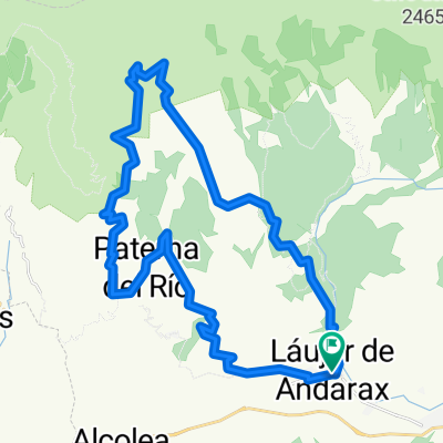
Laujar - Fte. La Parra - Llanos de Caparidan - Pradillos - Alcolea

0
Open this route in the Bikemap app

Open this route in the Bikemap app

Open this route in Bikemap Web

Open this route in Bikemap Web

59 km
Distance
1245 m
Ascent
1245 m
Descent
-:-- h
Duration
-- km/h
Avg. Speed
--- m
Max. Elevation

About This Route

Ruta para bicicleta de montaña por la Sierra de Gádor en su sector noroccidental. La ruta, tal y como se ha realizado, es la combinación de diferentes tipos de vía, predominando la pista forestal, pero abordando también un interesante tramo de sendero fácil de acometer, y rematando con varios kilómetros de asfalto.

This cycling route is ideal for: MTB

You will cycle on the following surfaces: Paved Unpaved Gravel

Customize this cycling route with the Bikemap route planner.

Make it yours!

Did you know? You can use this route as a template in our cycling route planner if you don't wish to start from scratch. Customize it based on your needs to plan your perfect cycling tour.

Open it in the app