Premium Badge Download on the App Store Get it on Google Play Turn-by-turn Navigation Offline Maps Bike Type Optimized Routing Premium Maps Custom Bike Computer Export Routes Route Previews Fall Detection Premium Support

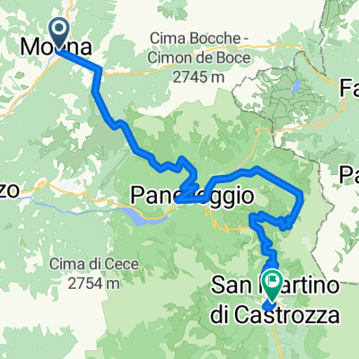
Cycling Route in Moena, Trentino-Alto Adige, Italy

Moena - Val Floriana - Moena

0
Open this route in the Bikemap app

Open this route in the Bikemap app

Open this route in Bikemap Web

Open this route in Bikemap Web

91 km
Distance
1571 m
Ascent
1571 m
Descent
-:-- h
Duration
-- km/h
Avg. Speed
--- m
Max. Elevation

About This Route

Impegnativan tappa, per lunghezza e altimetria, che percorre da Moena la Val di Fiemme, lungo la pista ciclabile, asfaltata; ascesa lungo la strada asfaltata della Val Floriana fino a Malga Sass  e rientro su strada forestale e di nuovo la pista ciclabile

This cycling route is ideal for: MTB

You will cycle on the following surfaces: Paved Unpaved

Customize this cycling route with the Bikemap route planner.

Make it yours!

Did you know? You can use this route as a template in our cycling route planner if you don't wish to start from scratch. Customize it based on your needs to plan your perfect cycling tour.

Open it in the app