

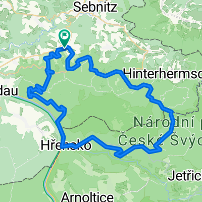
Ulbersdorf - Heeselicht - Serpentinen - Neustadt - Ulbersdorf
A cycling route starting in Sebnitz, Saxony, Germany.
Overview
About this route
-
-
- Km Ehrenberg: viele Schlaglöcher
-
-
-
- Km Cunnersdorf(Bockmühle): viele Schlaglöcher
-
12,5 - 28. Km Heeselicht/Serpentinen: erhöhtes Verkehrsaufkommen möglich
-
-
- Km Hocksteinschänke - Polenztal: in Richtung Polenztal nur Einspurig (im Sommer keine Überholmöglichkeit von Autos)
-
-
- 37,5 Km zw. Cunnersdorf - Neustadt: erhöhtes Verkehrsaufkommen möglich
-
- 43 Km Krumhermsdorf - Ulbersdorf: schmale Straße mit Gefahr von Autoverkehr (Bergabfahrt!) sowie in Waldstücken von Ästen etc.
- -:--
- Duration
- 43.8 km
- Distance
- 706 m
- Ascent
- 603 m
- Descent
- ---
- Avg. speed
- 432 m
- Avg. speed
Route quality
Waytypes & surfaces along the route
Waytypes
Busy road
18.7 km
(43 %)
Road
17 km
(39 %)
Surfaces
Paved
36.8 km
(84 %)
Unpaved
3.6 km
(8 %)
Asphalt
36.8 km
(84 %)
Ground
3.6 km
(8 %)
Continue with Bikemap
Use, edit, or download this cycling route
You would like to ride Ulbersdorf - Heeselicht - Serpentinen - Neustadt - Ulbersdorf or customize it for your own trip? Here is what you can do with this Bikemap route:
Free features
- Save this route as favorite or in collections
- Copy & plan your own version of this route
- Sync your route with Garmin or Wahoo
Premium features
Free trial for 3 days, or one-time payment. More about Bikemap Premium.
- Navigate this route on iOS & Android
- Export a GPX / KML file of this route
- Create your custom printout (try it for free)
- Download this route for offline navigation
Discover more Premium features.
Get Bikemap PremiumFrom our community
Other popular routes starting in Sebnitz
 Hinterhermsdorf-Panoramaweg-Bad Schandau-Nationalpark
- Distance
- 46.1 km
- Ascent
- 693 m
- Descent
- 693 m
- Location
- Sebnitz, Saxony, Germany
 Kleines Prebischtor, Var. 2
- Distance
- 46.8 km
- Ascent
- 586 m
- Descent
- 586 m
- Location
- Sebnitz, Saxony, Germany
 Zwischen Kirnitzschtal und Balzhütten
- Distance
- 38 km
- Ascent
- 415 m
- Descent
- 415 m
- Location
- Sebnitz, Saxony, Germany
 110 km Sparkassen Panorama- RADtour
- Distance
- 101.1 km
- Ascent
- 1,097 m
- Descent
- 1,097 m
- Location
- Sebnitz, Saxony, Germany
 Panoramatour Sächsische Schweiz
- Distance
- 56.3 km
- Ascent
- 581 m
- Descent
- 581 m
- Location
- Sebnitz, Saxony, Germany
 Grenzerfahrung III - Unvollständig
- Distance
- 51.7 km
- Ascent
- 803 m
- Descent
- 800 m
- Location
- Sebnitz, Saxony, Germany
 Gipfeltour, hart aber schön
- Distance
- 106 km
- Ascent
- 1,851 m
- Descent
- 1,851 m
- Location
- Sebnitz, Saxony, Germany
 Hinterhermsdorf Runde (Czech)
- Distance
- 42.2 km
- Ascent
- 594 m
- Descent
- 594 m
- Location
- Sebnitz, Saxony, Germany
Open it in the app