

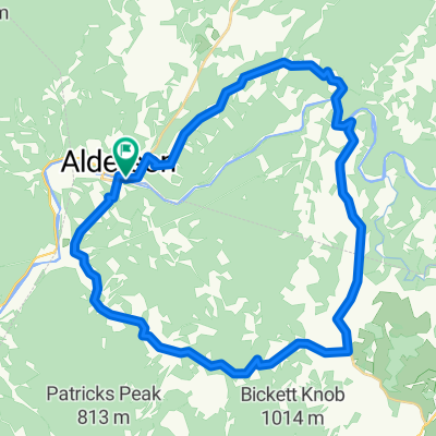
Johnsons Crossroads - Clayton Combined Alternate
A cycling route starting in Alderson, West Virginia, United States of America.
Overview
About this route
Slightly shorter with less climbing then Johnson Crossroads-Clayton Combined.
- -:--
- Duration
- 50.1 km
- Distance
- 618 m
- Ascent
- 619 m
- Descent
- ---
- Avg. speed
- ---
- Avg. speed

Route quality
Waytypes & surfaces along the route
Waytypes
Quiet road
26.7 km
(53 %)
Road
13.3 km
(27 %)
Surfaces
Paved
19.9 km
(40 %)
Paved (undefined)
19.9 km
(40 %)
Undefined
30.2 km
(60 %)
Continue with Bikemap
Use, edit, or download this cycling route
You would like to ride Johnsons Crossroads - Clayton Combined Alternate or customize it for your own trip? Here is what you can do with this Bikemap route:
Free features
- Save this route as favorite or in collections
- Copy & plan your own version of this route
- Sync your route with Garmin or Wahoo
Premium features
Free trial for 3 days, or one-time payment. More about Bikemap Premium.
- Navigate this route on iOS & Android
- Export a GPX / KML file of this route
- Create your custom printout (try it for free)
- Download this route for offline navigation
Discover more Premium features.
Get Bikemap PremiumFrom our community
Other popular routes starting in Alderson
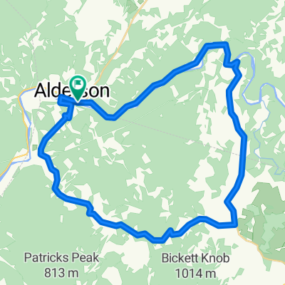
 Muddy Creek Mtn. - Sinks Grove Loop
- Distance
- 49 km
- Ascent
- 724 m
- Descent
- 727 m
- Location
- Alderson, West Virginia, United States of America
 Bennett Mountain
- Distance
- 56.5 km
- Ascent
- 704 m
- Descent
- 708 m
- Location
- Alderson, West Virginia, United States of America
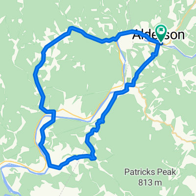
 Alderson-Talcott- Marie- Wayside.
- Distance
- 60.5 km
- Ascent
- 865 m
- Descent
- 865 m
- Location
- Alderson, West Virginia, United States of America
 Alderson-Sinks Grove Loop
- Distance
- 43.9 km
- Ascent
- 702 m
- Descent
- 702 m
- Location
- Alderson, West Virginia, United States of America
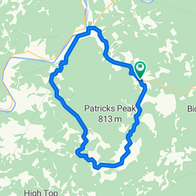 Johnsons Crossroads Loop
- Distance
- 31.7 km
- Ascent
- 1,824 m
- Descent
- 1,824 m
- Location
- Alderson, West Virginia, United States of America
 Clayton Loop 1 CLONED FROM ROUTE 1520778
- Distance
- 34.8 km
- Ascent
- 480 m
- Descent
- 481 m
- Location
- Alderson, West Virginia, United States of America
 Alderson-Sinks Grove using Rt. 63
- Distance
- 44.4 km
- Ascent
- 611 m
- Descent
- 612 m
- Location
- Alderson, West Virginia, United States of America
 Lowell - Johnsons Crossroads Loop
- Distance
- 44.3 km
- Ascent
- 466 m
- Descent
- 466 m
- Location
- Alderson, West Virginia, United States of America
Open it in the app