
Training 2
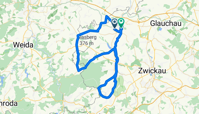
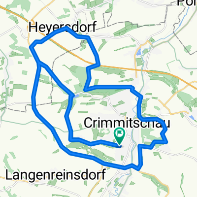
A cycling route starting in Neukirchen, Saxony, Germany.
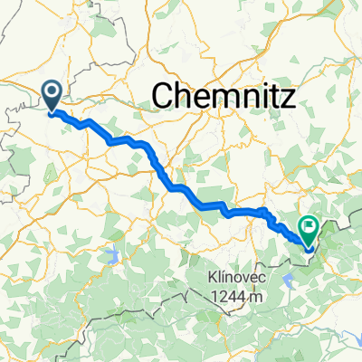
Overview
About this route
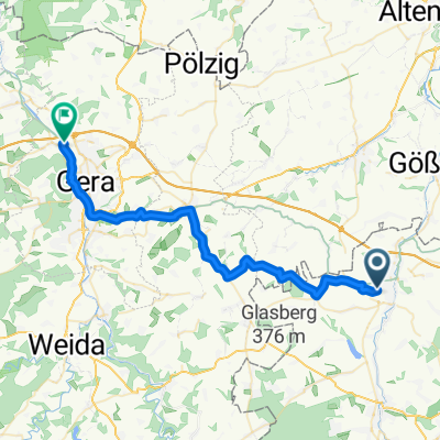
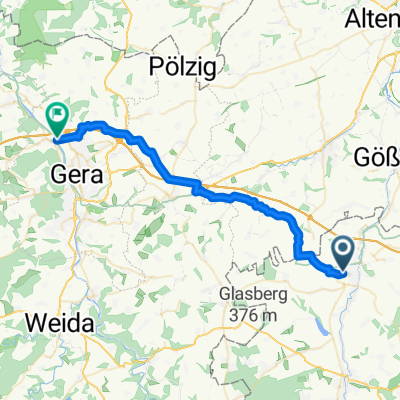
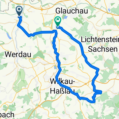
lange Runde über WDA - Fraureuth - Trünzig...
- -:--
- Duration
- 75.9 km
- Distance
- 384 m
- Ascent
- 428 m
- Descent
- ---
- Avg. speed
- ---
- Max. altitude
Route quality
Waytypes & surfaces along the route
Waytypes
Road
35.5 km
(47 %)
Busy road
23.4 km
(31 %)
Surfaces
Paved
56.9 km
(75 %)
Unpaved
0.2 km
(<1 %)
Asphalt
56.8 km
(75 %)
Unpaved (undefined)
0.2 km
(<1 %)
Continue with Bikemap
Use, edit, or download this cycling route
You would like to ride Training 2 or customize it for your own trip? Here is what you can do with this Bikemap route:
Free features
- Save this route as favorite or in collections
- Copy & plan your own version of this route
- Sync your route with Garmin or Wahoo
Premium features
Free trial for 3 days, or one-time payment. More about Bikemap Premium.
- Navigate this route on iOS & Android
- Export a GPX / KML file of this route
- Create your custom printout (try it for free)
- Download this route for offline navigation
Discover more Premium features.
Get Bikemap PremiumFrom our community
Other popular routes starting in Neukirchen
 Crimmitschau - Kap Arkona 2013 R 01/T01/TA01/V02
- Distance
- 34 km
- Ascent
- 149 m
- Descent
- 261 m
- Location
- Neukirchen, Saxony, Germany
 Crimmitschau - Kap Arkona 2013 R01/T01/TA01/V01
- Distance
- 31.5 km
- Ascent
- 141 m
- Descent
- 250 m
- Location
- Neukirchen, Saxony, Germany
 Beyerstraße 54 - Mühlgasse
- Distance
- 59.8 km
- Ascent
- 331 m
- Descent
- 363 m
- Location
- Neukirchen, Saxony, Germany
 Rund um Crimmsche
- Distance
- 30.2 km
- Ascent
- 313 m
- Descent
- 313 m
- Location
- Neukirchen, Saxony, Germany
 Koberbachtalsperre
- Distance
- 2.5 km
- Ascent
- 44 m
- Descent
- 19 m
- Location
- Neukirchen, Saxony, Germany
 Training 2
- Distance
- 75.9 km
- Ascent
- 384 m
- Descent
- 428 m
- Location
- Neukirchen, Saxony, Germany
 Crimmitschau - Frankenhausen - Thonhausen
- Distance
- 33.7 km
- Ascent
- 164 m
- Descent
- 161 m
- Location
- Neukirchen, Saxony, Germany
 Crimmsche-Hirtstein
- Distance
- 84.2 km
- Ascent
- 1,422 m
- Descent
- 780 m
- Location
- Neukirchen, Saxony, Germany
Open it in the app