
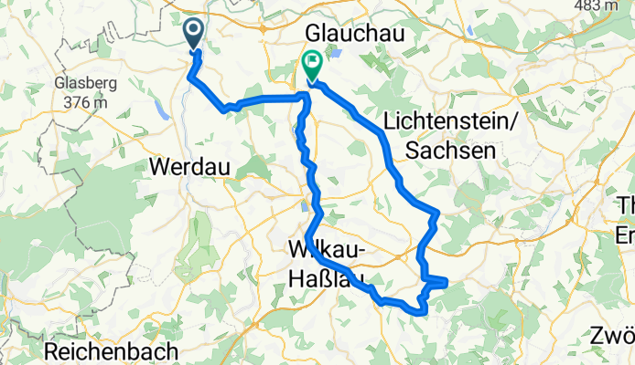
Beyerstraße 54 - Mühlgasse
A cycling route starting in Neukirchen, Saxony, Germany.
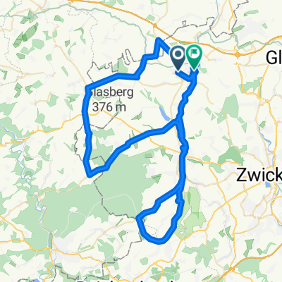
Overview
About this route
- 3 h 2 min
- Duration
- 59.8 km
- Distance
- 331 m
- Ascent
- 363 m
- Descent
- 19.7 km/h
- Avg. speed
- ---
- Max. altitude
Route quality
Waytypes & surfaces along the route
Waytypes
Busy road
17.2 km
(29 %)
Path
14.1 km
(24 %)
Surfaces
Paved
38.7 km
(65 %)
Unpaved
11 km
(18 %)
Asphalt
37.8 km
(63 %)
Gravel
6.1 km
(10 %)
Route highlights
Points of interest along the route
Point of interest after 29.5 km
Pause
Continue with Bikemap
Use, edit, or download this cycling route
You would like to ride Beyerstraße 54 - Mühlgasse or customize it for your own trip? Here is what you can do with this Bikemap route:
Free features
- Save this route as favorite or in collections
- Copy & plan your own version of this route
- Sync your route with Garmin or Wahoo
Premium features
Free trial for 3 days, or one-time payment. More about Bikemap Premium.
- Navigate this route on iOS & Android
- Export a GPX / KML file of this route
- Create your custom printout (try it for free)
- Download this route for offline navigation
Discover more Premium features.
Get Bikemap PremiumFrom our community
Other popular routes starting in Neukirchen
 20150802_103620.gpx
- Distance
- 16.8 km
- Ascent
- 134 m
- Descent
- 134 m
- Location
- Neukirchen, Saxony, Germany
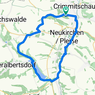
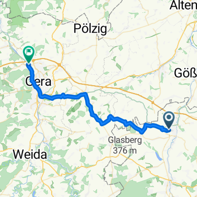
 Crimmitschau - Kap Arkona 2013 R01/T01/TA01/V01
- Distance
- 31.5 km
- Ascent
- 141 m
- Descent
- 250 m
- Location
- Neukirchen, Saxony, Germany
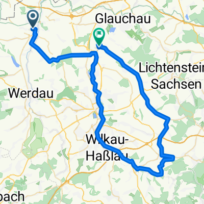 Beyerstraße 54 - Mühlgasse
- Distance
- 59.8 km
- Ascent
- 331 m
- Descent
- 363 m
- Location
- Neukirchen, Saxony, Germany
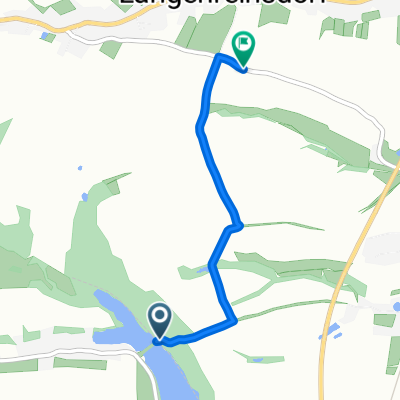 Koberbachtalsperre
- Distance
- 2.5 km
- Ascent
- 44 m
- Descent
- 19 m
- Location
- Neukirchen, Saxony, Germany
 Crimmitschau - Kap Arkona 2013 R 01/T01/TA01/V02
- Distance
- 34 km
- Ascent
- 149 m
- Descent
- 261 m
- Location
- Neukirchen, Saxony, Germany
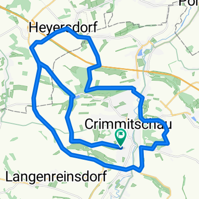 Rund um Crimmsche
- Distance
- 30.2 km
- Ascent
- 339 m
- Descent
- 339 m
- Location
- Neukirchen, Saxony, Germany
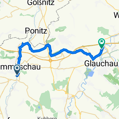 Mittellandroute Crimmitschau - Glauchau
- Distance
- 18.6 km
- Ascent
- 112 m
- Descent
- 115 m
- Location
- Neukirchen, Saxony, Germany
 Training 2
- Distance
- 75.9 km
- Ascent
- 384 m
- Descent
- 428 m
- Location
- Neukirchen, Saxony, Germany
Open it in the app