

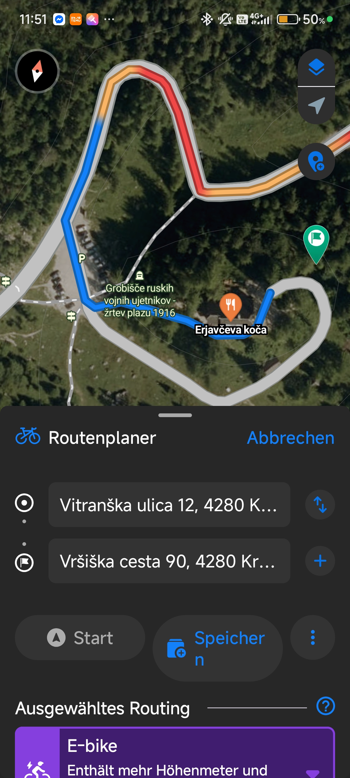
Kranjska Gora - Soca Tal - Camping Koren
A cycling route starting in Kranjska Gora, Kranjska Gora, Slovenia.
Overview
About this route
Geniale Landschaft
(cloned from route 3031690)
- -:--
- Duration
- 69.3 km
- Distance
- 984 m
- Ascent
- 1,585 m
- Descent
- ---
- Avg. speed
- ---
- Avg. speed
Route quality
Waytypes & surfaces along the route
Waytypes
Busy road
65.6 km
(95 %)
Quiet road
2.3 km
(3 %)
Surfaces
Paved
66.6 km
(96 %)
Unpaved
0.3 km
(<1 %)
Asphalt
66.2 km
(96 %)
Paved (undefined)
0.3 km
(<1 %)
Continue with Bikemap
Use, edit, or download this cycling route
You would like to ride Kranjska Gora - Soca Tal - Camping Koren or customize it for your own trip? Here is what you can do with this Bikemap route:
Free features
- Save this route as favorite or in collections
- Copy & plan your own version of this route
- Sync your route with Garmin or Wahoo
Premium features
Free trial for 3 days, or one-time payment. More about Bikemap Premium.
- Navigate this route on iOS & Android
- Export a GPX / KML file of this route
- Create your custom printout (try it for free)
- Download this route for offline navigation
Discover more Premium features.
Get Bikemap PremiumFrom our community
Other popular routes starting in Kranjska Gora
 Nassfeld - Podkoren
- Distance
- 128.2 km
- Ascent
- 1,722 m
- Descent
- 1,718 m
- Location
- Kranjska Gora, Kranjska Gora, Slovenia
 Day 6 | Side Trip to Ski Jump Planica
- Distance
- 13.6 km
- Ascent
- 232 m
- Descent
- 233 m
- Location
- Kranjska Gora, Kranjska Gora, Slovenia
 Kranjska Gora - Bovec Etappe 1
- Distance
- 13.9 km
- Ascent
- 1,137 m
- Descent
- 368 m
- Location
- Kranjska Gora, Kranjska Gora, Slovenia
 Kranjska Gora - Belopeška - Valbruna
- Distance
- 59.8 km
- Ascent
- 1,178 m
- Descent
- 1,177 m
- Location
- Kranjska Gora, Kranjska Gora, Slovenia
 Karavanke: Rateče - Tržič
- Distance
- 104.5 km
- Ascent
- 3,302 m
- Descent
- 3,633 m
- Location
- Kranjska Gora, Kranjska Gora, Slovenia
 Vitranška ulica 10b nach Via Laghi
- Distance
- 10.8 km
- Ascent
- 274 m
- Descent
- 149 m
- Location
- Kranjska Gora, Kranjska Gora, Slovenia
 2. nap Mojstrana 19km
- Distance
- 19.1 km
- Ascent
- 278 m
- Descent
- 347 m
- Location
- Kranjska Gora, Kranjska Gora, Slovenia
 Unbenannte Route
- Distance
- 298.2 km
- Ascent
- 7,622 m
- Descent
- 7,888 m
- Location
- Kranjska Gora, Kranjska Gora, Slovenia