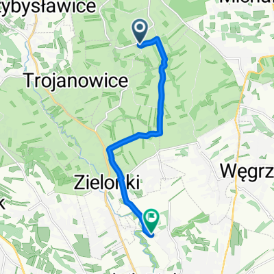
Treningo-wycieczka MTB na Pustynię Błędowską
A cycling route starting in Zielonki, Lesser Poland Voivodeship, Poland.
Overview
About this route
Dłuższy postój w Rabsztynie - jedzenie.
- -:--
- Duration
- 114.7 km
- Distance
- 783 m
- Ascent
- 783 m
- Descent
- ---
- Avg. speed
- ---
- Avg. speed
Route highlights
Points of interest along the route
Point of interest after 51.6 km
Knajpa - obiad
Continue with Bikemap
Use, edit, or download this cycling route
You would like to ride Treningo-wycieczka MTB na Pustynię Błędowską or customize it for your own trip? Here is what you can do with this Bikemap route:
Free features
- Save this route as favorite or in collections
- Copy & plan your own version of this route
- Sync your route with Garmin or Wahoo
Premium features
Free trial for 3 days, or one-time payment. More about Bikemap Premium.
- Navigate this route on iOS & Android
- Export a GPX / KML file of this route
- Create your custom printout (try it for free)
- Download this route for offline navigation
Discover more Premium features.
Get Bikemap PremiumFrom our community
Other popular routes starting in Zielonki
 Zimowo super zamrożone.
- Distance
- 54 km
- Ascent
- 489 m
- Descent
- 487 m
- Location
- Zielonki, Lesser Poland Voivodeship, Poland
 Czerwony szlak rowerowy gminy Zielonki
- Distance
- 32.3 km
- Ascent
- 342 m
- Descent
- 342 m
- Location
- Zielonki, Lesser Poland Voivodeship, Poland
 Dolina Kluczwody
- Distance
- 41.2 km
- Ascent
- 340 m
- Descent
- 349 m
- Location
- Zielonki, Lesser Poland Voivodeship, Poland
 KRAKÓW 2011: Kraków - Zielonki - Pękowice - Giebułtów - Dolina Pradnika - Ojcowski Park Narodowy
- Distance
- 18.6 km
- Ascent
- 292 m
- Descent
- 170 m
- Location
- Zielonki, Lesser Poland Voivodeship, Poland
 pętelka treningowa
- Distance
- 47.6 km
- Ascent
- 634 m
- Descent
- 636 m
- Location
- Zielonki, Lesser Poland Voivodeship, Poland
 Wola Zachariaszowska- Witkowice
- Distance
- 7 km
- Ascent
- 31 m
- Descent
- 107 m
- Location
- Zielonki, Lesser Poland Voivodeship, Poland
 Szlak czerwony w gminie zielonki
- Distance
- 32.6 km
- Ascent
- 345 m
- Descent
- 345 m
- Location
- Zielonki, Lesser Poland Voivodeship, Poland
 Dolina Prądnika
- Distance
- 44.4 km
- Ascent
- 421 m
- Descent
- 421 m
- Location
- Zielonki, Lesser Poland Voivodeship, Poland
Open it in the app

