Premium Badge Download on the App Store Get it on Google Play Turn-by-turn Navigation Offline Maps Bike Type Optimized Routing Premium Maps Custom Bike Computer Export Routes Route Previews Fall Detection Premium Support

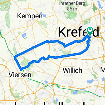
Cycling Route in Krefeld, North Rhine-Westphalia, Germany

Krefeld - Kloster-Kamp - Krefeld

2
Open this route in the Bikemap app

Open this route in the Bikemap app

Open this route in Bikemap Web

Open this route in Bikemap Web

57 km
Distance
139 m
Ascent
140 m
Descent
-:-- h
Duration
-- km/h
Avg. Speed
--- m
Max. Elevation

About This Route

Am Hülser Berg und auch an Tönisberg vorbei Richtung Norden. Weiter an coolen Kuhlen und Niepen (hier floß mal der Rhein) zum nördlichsten (Höhe-)Punkt - Kloster-Kamp.

Die Rast ist verdient.

Danach durch die Fossa Eugeniana, eine kleine Runde um den Dachsberg und dann Richtung Oermter Berg. Im Ökodorf Rheurdt geht's doch noch bergauf auf die Schaephuysener Höhen und auf und an denen nach Stenden.

Noch ein Bier in der Waldschenke?

Durch die Felder geht's anschließend westlich von Hüls wieder zurück nach Krefeld.

(cloned from route 33122)

You will cycle on the following surfaces: Paved Unpaved Gravel

Customize this cycling route with the Bikemap route planner.

Make it yours!

Did you know? You can use this route as a template in our cycling route planner if you don't wish to start from scratch. Customize it based on your needs to plan your perfect cycling tour.

Open it in the app