
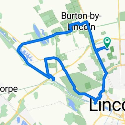
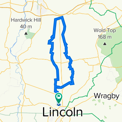
RAF History Tour
A cycling route starting in Burton, England, United Kingdom.
Overview
About this route
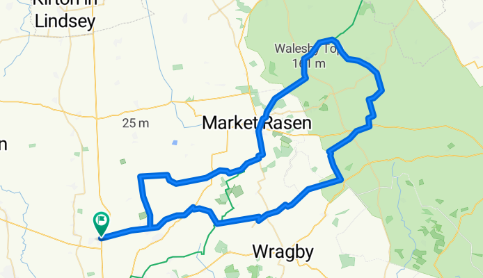
An FD roadbike tour of the RAF Bombing stations of the Lincolnshire wolds.
- -:--
- Duration
- 77.9 km
- Distance
- 340 m
- Ascent
- 339 m
- Descent
- ---
- Avg. speed
- ---
- Avg. speed
Route quality
Waytypes & surfaces along the route
Waytypes
Road
41.2 km
(53 %)
Quiet road
25 km
(32 %)
Surfaces
Paved
23.1 km
(30 %)
Unpaved
0.2 km
(<1 %)
Asphalt
23.1 km
(30 %)
Gravel
0.2 km
(<1 %)
Undefined
54.7 km
(70 %)
Route highlights
Points of interest along the route
Point of interest after 11.1 km
RAF Faldingworth V bomber H bomb storage decoy station for hemswell
Point of interest after 37.3 km
RAF Binbrook
Point of interest after 44.7 km
RAF Ludford Magna Highest Bomber station in england
Point of interest after 61.9 km
RAF Wickenby
Continue with Bikemap
Use, edit, or download this cycling route
You would like to ride RAF History Tour or customize it for your own trip? Here is what you can do with this Bikemap route:
Free features
- Save this route as favorite or in collections
- Copy & plan your own version of this route
- Sync your route with Garmin or Wahoo
Premium features
Free trial for 3 days, or one-time payment. More about Bikemap Premium.
- Navigate this route on iOS & Android
- Export a GPX / KML file of this route
- Create your custom printout (try it for free)
- Download this route for offline navigation
Discover more Premium features.
Get Bikemap PremiumFrom our community
Other popular routes starting in Burton
 31 Torrington Road, Lincoln to 26 Torrington Road, Lincoln
- Distance
- 24.5 km
- Ascent
- 63 m
- Descent
- 115 m
- Location
- Burton, England, United Kingdom
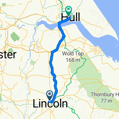 28 nov Lincoln - Hull
- Distance
- 77.5 km
- Ascent
- 149 m
- Descent
- 212 m
- Location
- Burton, England, United Kingdom
 Umbrellas Ride
- Distance
- 76.4 km
- Ascent
- 113 m
- Descent
- 111 m
- Location
- Burton, England, United Kingdom
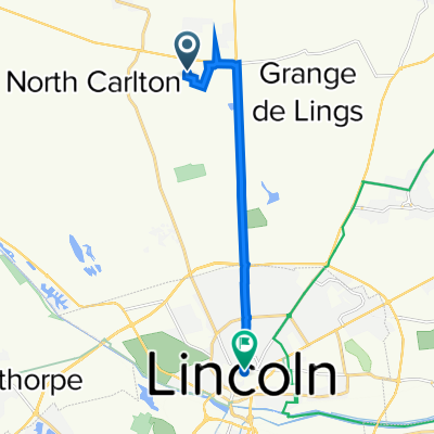 North Carlton, Lincoln to 32–99 Eastgate, Lincoln
- Distance
- 7.9 km
- Ascent
- 25 m
- Descent
- 16 m
- Location
- Burton, England, United Kingdom
 Canal Route
- Distance
- 14.7 km
- Ascent
- 76 m
- Descent
- 78 m
- Location
- Burton, England, United Kingdom
 Burton-Messingham loop
- Distance
- 81.1 km
- Ascent
- 339 m
- Descent
- 334 m
- Location
- Burton, England, United Kingdom
 RAF History Tour
- Distance
- 77.9 km
- Ascent
- 340 m
- Descent
- 339 m
- Location
- Burton, England, United Kingdom
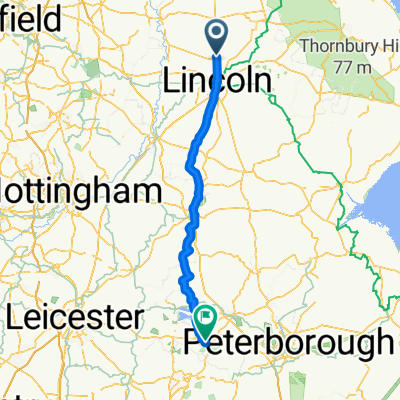 8–9 Trenchard Square, Lincoln to Main Street, Oakham
- Distance
- 97.4 km
- Ascent
- 542 m
- Descent
- 534 m
- Location
- Burton, England, United Kingdom
Open it in the app