
Balkany 2015 v2
A cycling route starting in Podstrana, Splitsko-Dalmatinska Županija, Croatia.
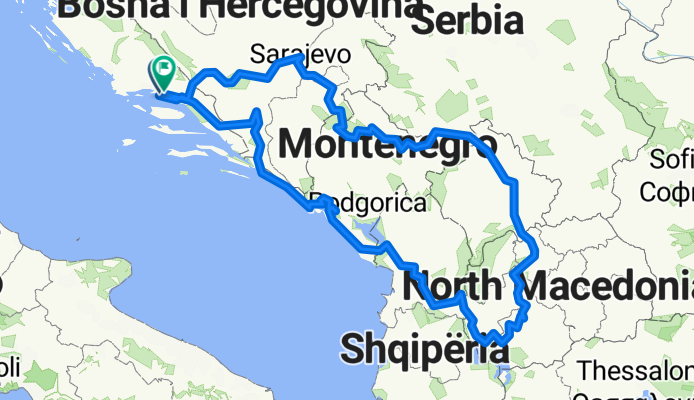
Overview
About this route
planowana trasa
- -:--
- Duration
- 1,842.1 km
- Distance
- 8,505 m
- Ascent
- 8,052 m
- Descent
- ---
- Avg. speed
- ---
- Avg. speed
Route highlights
Points of interest along the route

Photo after 4.2 km
Nacionalni Park Plitvička jezera
Point of interest after 158.6 km
most, stare miasto
Point of interest after 365.8 km
Pałace i zabytki z czasów REpubliki Weneckiej , dawny port
Point of interest after 379.2 km
Stare Miasto, zatoka jak fiord
Point of interest after 455.5 km
ZAbytki z czasów Republiki Weneckiej
Point of interest after 488.8 km
Tańsza alternatywa dla Budvy, plaża i kurort
Point of interest after 525.6 km
Ada Bojana -wyspa z gniazdowaniem ptaków morskich
Point of interest after 540.9 km
Jezioro Szkoderskie: https://pl.wikipedia.org/wiki/Jezioro_Szkoderskie
Point of interest after 790.6 km
Point of interest after 1,207.4 km
stredniowieczny monastyr w Durdevi Stepovi
Photo after 1,444 km
Kanion rzeki Pivy
Continue with Bikemap
Use, edit, or download this cycling route
You would like to ride Balkany 2015 v2 or customize it for your own trip? Here is what you can do with this Bikemap route:
Free features
- Save this route as favorite or in collections
- Copy & plan your own version of this route
- Sync your route with Garmin or Wahoo
Premium features
Free trial for 3 days, or one-time payment. More about Bikemap Premium.
- Navigate this route on iOS & Android
- Export a GPX / KML file of this route
- Create your custom printout (try it for free)
- Download this route for offline navigation
Discover more Premium features.
Get Bikemap PremiumFrom our community
Other popular routes starting in Podstrana
 Balkany 2015 v2
- Distance
- 1,842.1 km
- Ascent
- 8,505 m
- Descent
- 8,052 m
- Location
- Podstrana, Splitsko-Dalmatinska Županija, Croatia
 Via Ferrata Perunika
- Distance
- 3.1 km
- Ascent
- 334 m
- Descent
- 335 m
- Location
- Podstrana, Splitsko-Dalmatinska Županija, Croatia
 dghjnfhj
- Distance
- 115.4 km
- Ascent
- 1,477 m
- Descent
- 1,454 m
- Location
- Podstrana, Splitsko-Dalmatinska Županija, Croatia
 XCP Part 2
- Distance
- 2.3 km
- Ascent
- 206 m
- Descent
- 77 m
- Location
- Podstrana, Splitsko-Dalmatinska Županija, Croatia
 Stobrec Omis
- Distance
- 38.2 km
- Ascent
- 500 m
- Descent
- 501 m
- Location
- Podstrana, Splitsko-Dalmatinska Županija, Croatia
 XCP Part 5
- Distance
- 3.6 km
- Ascent
- 223 m
- Descent
- 387 m
- Location
- Podstrana, Splitsko-Dalmatinska Županija, Croatia
 perun
perun- Distance
- 3.2 km
- Ascent
- 235 m
- Descent
- 238 m
- Location
- Podstrana, Splitsko-Dalmatinska Županija, Croatia
 VI. kolo – XCO – Podstrana
- Distance
- 12.2 km
- Ascent
- 415 m
- Descent
- 420 m
- Location
- Podstrana, Splitsko-Dalmatinska Županija, Croatia
Open it in the app