

Ruhpolding nach Bergen über Förchensee und Weitsee Röthelmoosalm
A cycling route starting in Ruhpolding, Bavaria, Germany.
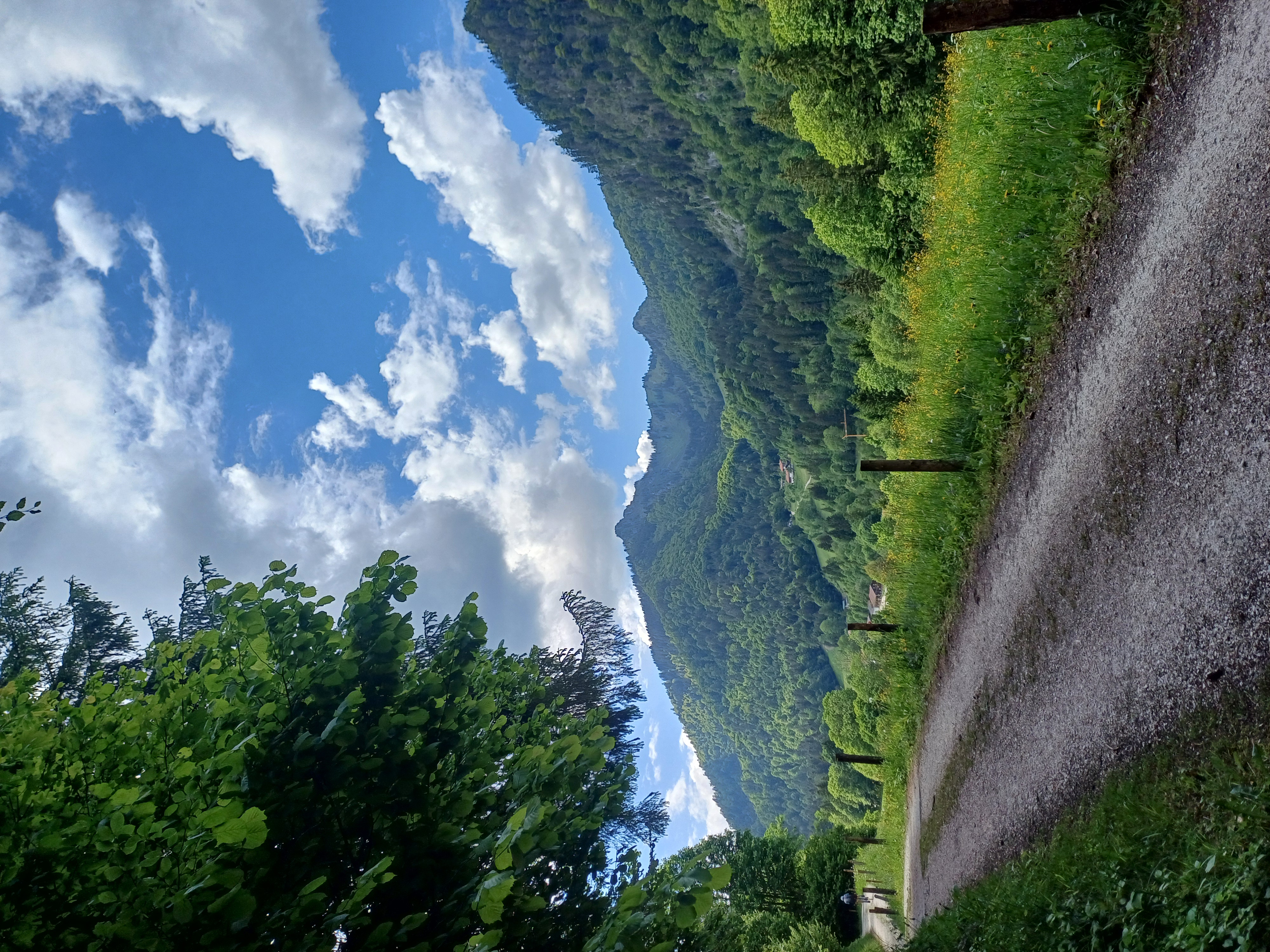
Overview
About this route
Anfangs sehr entspannte Tour, leicht ansteigend. Ab Weitsee langsam steiler werdend aber gut fahrbar bis Rthelmoosalm, dannach bis Eschelmoosalm teils sehr steile Anstiege und Abfahrten, aber alles auf guten Schotterpisten. Ab Eschelmoosalm einfach nur noch Abfahrtsspaß bis nach Bergen. Achtung: 1. Drittel der Abfahrt sehr steil, sehr schmal und nahe am Abgrund, der Weg hat sehr groben Schotter und kleinere Felsen, danach schöne Schotterpiste, zum Schluß hin Asphalt. Auf der ganzen Tour ruhig so viel wie möglich an allen Seen und Bächen zum erfrischen und entspannen anhalten.
- -:--
- Duration
- 36 km
- Distance
- 635 m
- Ascent
- 746 m
- Descent
- ---
- Avg. speed
- ---
- Avg. speed
Route quality
Waytypes & surfaces along the route
Waytypes
Track
24.9 km
(69 %)
Quiet road
6.2 km
(17 %)
Surfaces
Paved
9.5 km
(27 %)
Unpaved
26.2 km
(73 %)
Gravel
24.4 km
(68 %)
Asphalt
8.2 km
(23 %)
Continue with Bikemap
Use, edit, or download this cycling route
You would like to ride Ruhpolding nach Bergen über Förchensee und Weitsee Röthelmoosalm or customize it for your own trip? Here is what you can do with this Bikemap route:
Free features
- Save this route as favorite or in collections
- Copy & plan your own version of this route
- Sync your route with Garmin or Wahoo
Premium features
Free trial for 3 days, or one-time payment. More about Bikemap Premium.
- Navigate this route on iOS & Android
- Export a GPX / KML file of this route
- Create your custom printout (try it for free)
- Download this route for offline navigation
Discover more Premium features.
Get Bikemap PremiumFrom our community
Other popular routes starting in Ruhpolding
 Pedale - Bergen
- Distance
- 32.3 km
- Ascent
- 280 m
- Descent
- 286 m
- Location
- Ruhpolding, Bavaria, Germany
 35-Rauschbergumrundung
- Distance
- 29.7 km
- Ascent
- 830 m
- Descent
- 819 m
- Location
- Ruhpolding, Bavaria, Germany
 Rund ums Sonntagshorn
- Distance
- 44.5 km
- Ascent
- 1,040 m
- Descent
- 1,032 m
- Location
- Ruhpolding, Bavaria, Germany
 Rauschbergrunde
- Distance
- 26.4 km
- Ascent
- 588 m
- Descent
- 588 m
- Location
- Ruhpolding, Bavaria, Germany
 D_Bayern-Fuchsau-Gstatt-Steinbachalm-HochfellnMittelstation-Scheichenbergalm-MariaEckWeg-Dießelbachweg-ChiemgauCoaster-Ruhpolding_RR-26km-650hm
- Distance
- 26.1 km
- Ascent
- 613 m
- Descent
- 613 m
- Location
- Ruhpolding, Bavaria, Germany
 HIPP-Trophy
- Distance
- 1.3 km
- Ascent
- 30 m
- Descent
- 30 m
- Location
- Ruhpolding, Bavaria, Germany
 Röthelmoosalm
- Distance
- 54.2 km
- Ascent
- 1,396 m
- Descent
- 1,398 m
- Location
- Ruhpolding, Bavaria, Germany
 Hochfellnrunde
- Distance
- 56.9 km
- Ascent
- 1,224 m
- Descent
- 1,228 m
- Location
- Ruhpolding, Bavaria, Germany
Open it in the app