

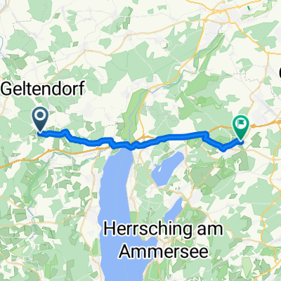
Ottilien-Wörthsee
A cycling route starting in Eresing, Bavaria, Germany.
Overview
About this route
Geltendorf, St. Ottilien, Ammersee, Wörthsee, Türkenfeld
- -:--
- Duration
- 26.7 km
- Distance
- 126 m
- Ascent
- 154 m
- Descent
- ---
- Avg. speed
- ---
- Avg. speed
Route quality
Waytypes & surfaces along the route
Waytypes
Quiet road
14.2 km
(53 %)
Road
5.3 km
(20 %)
Surfaces
Paved
23 km
(86 %)
Unpaved
1.7 km
(6 %)
Asphalt
23 km
(86 %)
Mud
0.5 km
(2 %)
Continue with Bikemap
Use, edit, or download this cycling route
You would like to ride Ottilien-Wörthsee or customize it for your own trip? Here is what you can do with this Bikemap route:
Free features
- Save this route as favorite or in collections
- Copy & plan your own version of this route
- Sync your route with Garmin or Wahoo
Premium features
Free trial for 3 days, or one-time payment. More about Bikemap Premium.
- Navigate this route on iOS & Android
- Export a GPX / KML file of this route
- Create your custom printout (try it for free)
- Download this route for offline navigation
Discover more Premium features.
Get Bikemap PremiumFrom our community
Other popular routes starting in Eresing
 Rennrad 67 km
- Distance
- 67.6 km
- Ascent
- 228 m
- Descent
- 228 m
- Location
- Eresing, Bavaria, Germany
 Von Eresing bis Füssen
- Distance
- 93.2 km
- Ascent
- 819 m
- Descent
- 613 m
- Location
- Eresing, Bavaria, Germany
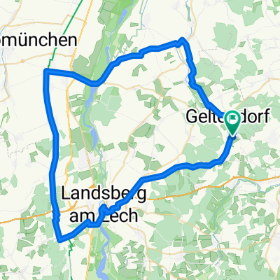
 Geltendorf-Landsberg
- Distance
- 65.6 km
- Ascent
- 525 m
- Descent
- 524 m
- Location
- Eresing, Bavaria, Germany
 St Ottilien Ammersee
- Distance
- 61.6 km
- Ascent
- 311 m
- Descent
- 310 m
- Location
- Eresing, Bavaria, Germany
 Eresing-Wessling
- Distance
- 21.2 km
- Ascent
- 173 m
- Descent
- 174 m
- Location
- Eresing, Bavaria, Germany
 13.09.10 Geltendorf-Oberstaufen
- Distance
- 148.4 km
- Ascent
- 770 m
- Descent
- 583 m
- Location
- Eresing, Bavaria, Germany
 Geltendorf-Hurlach
- Distance
- 66.1 km
- Ascent
- 419 m
- Descent
- 421 m
- Location
- Eresing, Bavaria, Germany
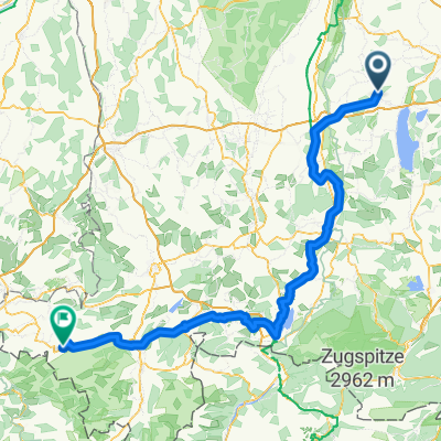
 Eresing - Hohenpeissenberg
- Distance
- 48.9 km
- Ascent
- 650 m
- Descent
- 276 m
- Location
- Eresing, Bavaria, Germany
Open it in the app