Premium Badge Download on the App Store Get it on Google Play Turn-by-turn Navigation Offline Maps Bike Type Optimized Routing Premium Maps Custom Bike Computer Export Routes Route Previews Fall Detection Premium Support

Cycling Route in Warstein, North Rhine-Westphalia, Germany

Steine und mehr in Warstein

0
Open this route in the Bikemap app

Open this route in the Bikemap app

Open this route in Bikemap Web

Open this route in Bikemap Web

20 km
Distance
291 m
Ascent
288 m
Descent
-:-- h
Duration
-- km/h
Avg. Speed
--- m
Max. Elevation

About This Route

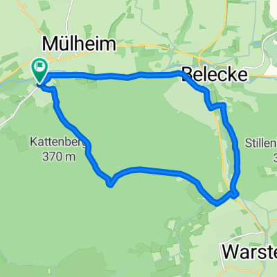
Hierbei handelt es sich um eine ca. 20km lange Runde um die Ortschaften Warstein und Suttrop, welche als Projekt der REGIONALE 2013 entwickelt wurde. Die Route bietet einen Eindruck der Abbaulandschaft, welche durch den Steinabbau entstanden ist. Gleichzeitig liegen touristische Glanzpunkte wie der Diamantenpark mit Nachbau eines historischen Kalkofens in Suttrop, das Besucherzentrum und das Montgolfiadegelände der Warsteiner Brauerei, der Wildpark sowie die Tropfsteinhöhle im Bilsteinpark an dieser Route. Eine Ausschilderung sowie die Schaffung weiterer Erlebnispunkte sind in Planung.

(cloned from route 1414364)

You will cycle on the following surfaces: Paved

Customize this cycling route with the Bikemap route planner.

Make it yours!

Did you know? You can use this route as a template in our cycling route planner if you don't wish to start from scratch. Customize it based on your needs to plan your perfect cycling tour.

Open it in the app