

Ingling - Wernstein -Ingling
A cycling route starting in Passau, Bavaria, Germany.
Overview
About this route
Befestigter, zum großen Teil geteerter Weg, der nur von Fußgängern und Radfahrern genutzt wird. Von Jochenstein auf der deutschen Seite auf befestigten Waldweg führt der Weg bis zur in der Karte nicht eingezeichneten Marienbrücke bei Wernstein. Nach Überqueren der Brücke führt der Weg auf der österreichischen Seite wieder zurück zum in der Karte nicht eingezeichneten Stauwerk Jochenstein, dass durch Fußgänger und Radfahrer überquert werden kann.
- -:--
- Duration
- 12.9 km
- Distance
- 152 m
- Ascent
- 152 m
- Descent
- ---
- Avg. speed
- 367 m
- Avg. speed
Route quality
Waytypes & surfaces along the route
Waytypes
Quiet road
5.2 km
(40 %)
Cycleway
3.3 km
(26 %)
Surfaces
Paved
7.5 km
(58 %)
Unpaved
5.4 km
(42 %)
Asphalt
7.2 km
(55 %)
Gravel
2.9 km
(22 %)
Continue with Bikemap
Use, edit, or download this cycling route
You would like to ride Ingling - Wernstein -Ingling or customize it for your own trip? Here is what you can do with this Bikemap route:
Free features
- Save this route as favorite or in collections
- Copy & plan your own version of this route
- Sync your route with Garmin or Wahoo
Premium features
Free trial for 3 days, or one-time payment. More about Bikemap Premium.
- Navigate this route on iOS & Android
- Export a GPX / KML file of this route
- Create your custom printout (try it for free)
- Download this route for offline navigation
Discover more Premium features.
Get Bikemap PremiumFrom our community
Other popular routes starting in Passau
 EuroVelo 6 Through Austria (North)
- Distance
- 540.4 km
- Ascent
- 2,881 m
- Descent
- 3,049 m
- Location
- Passau, Bavaria, Germany
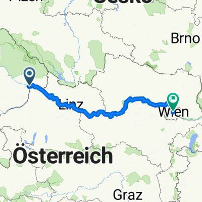
 Passau to Vienna
- Distance
- 322.8 km
- Ascent
- 214 m
- Descent
- 441 m
- Location
- Passau, Bavaria, Germany
 Donau_Etappe_01_Passau-Schlögen
- Distance
- 39.8 km
- Ascent
- 443 m
- Descent
- 461 m
- Location
- Passau, Bavaria, Germany
 Donau_Etappe_01_Passau-Schlögen
- Distance
- 39.8 km
- Ascent
- 444 m
- Descent
- 462 m
- Location
- Passau, Bavaria, Germany
 Track 1
- Distance
- 72.3 km
- Ascent
- 700 m
- Descent
- 825 m
- Location
- Passau, Bavaria, Germany
 Passau - Wien
- Distance
- 316.6 km
- Ascent
- 185 m
- Descent
- 375 m
- Location
- Passau, Bavaria, Germany
 Passau to Gyor
- Distance
- 458.3 km
- Ascent
- 2,553 m
- Descent
- 2,742 m
- Location
- Passau, Bavaria, Germany
 Donauradweg 21.05.2008
- Distance
- 328.5 km
- Ascent
- 180 m
- Descent
- 311 m
- Location
- Passau, Bavaria, Germany
Open it in the app