

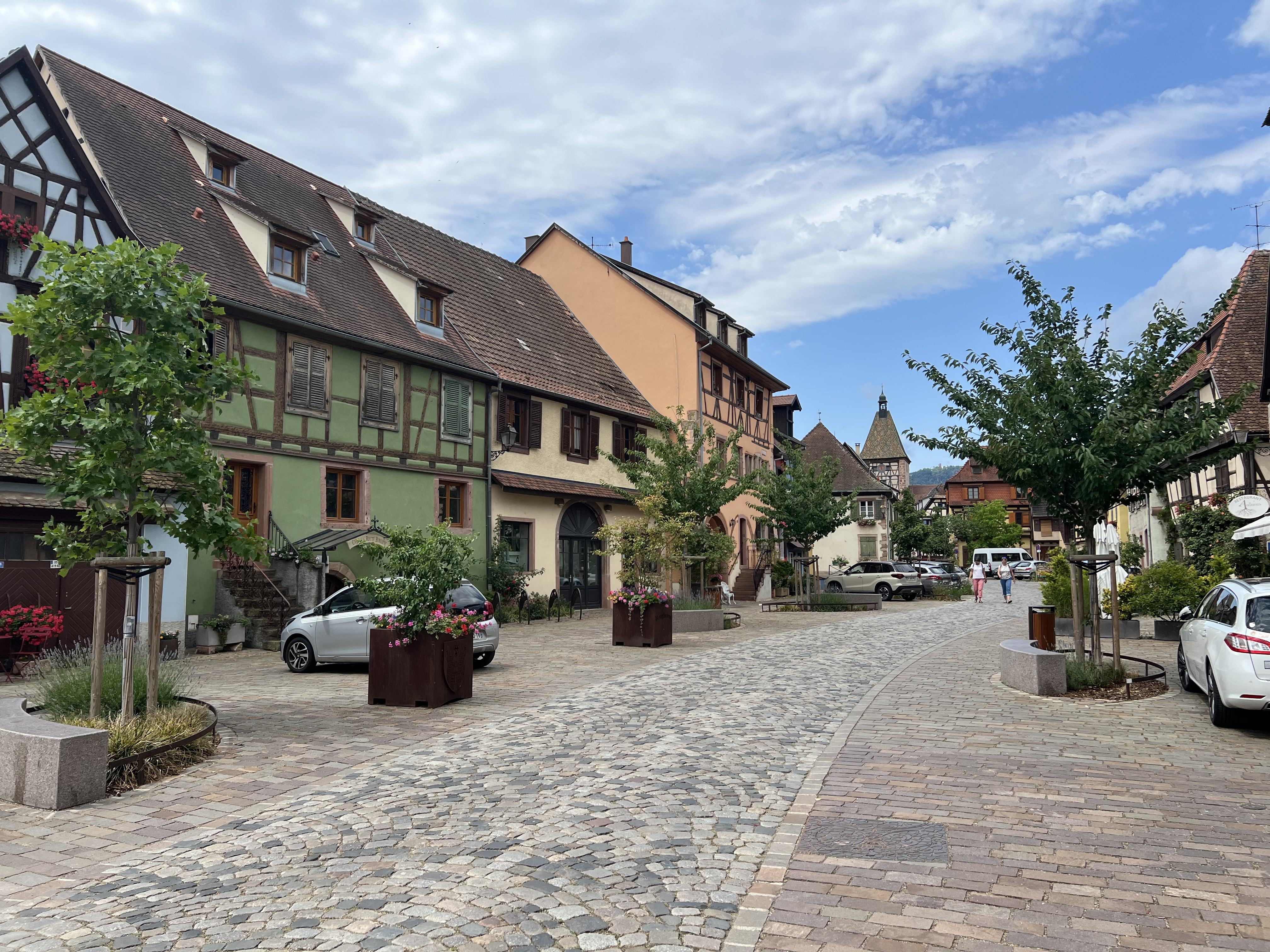
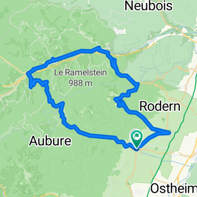
Haute-Koenigsbourg
A cycling route starting in Ribeauvillé, Alsace-Champagne-Ardenne-Lorraine, France.
Overview
About this route
Beautiful ride to giant castle in the Vosges
(cloned from route 2547018)- -:--
- Duration
- 77.7 km
- Distance
- 1,409 m
- Ascent
- 1,521 m
- Descent
- ---
- Avg. speed
- ---
- Avg. speed
Route quality
Waytypes & surfaces along the route
Waytypes
Road
37.8 km
(49 %)
Busy road
31 km
(40 %)
Surfaces
Paved
41 km
(53 %)
Asphalt
38.8 km
(50 %)
Paving stones
2.1 km
(3 %)
Route highlights
Points of interest along the route
Point of interest after 19.2 km
Haute-Koenigsbourg
Point of interest after 64.3 km
Col de Haute Ribeauvillé
Continue with Bikemap
Use, edit, or download this cycling route
You would like to ride Haute-Koenigsbourg or customize it for your own trip? Here is what you can do with this Bikemap route:
Free features
- Save this route as favorite or in collections
- Copy & plan your own version of this route
- Sync your route with Garmin or Wahoo
Premium features
Free trial for 3 days, or one-time payment. More about Bikemap Premium.
- Navigate this route on iOS & Android
- Export a GPX / KML file of this route
- Create your custom printout (try it for free)
- Download this route for offline navigation
Discover more Premium features.
Get Bikemap PremiumFrom our community
Other popular routes starting in Ribeauvillé
 Rue de l'Iris, Ribeauvillé to Rue des Vignerons, Bergheim
- Distance
- 3.9 km
- Ascent
- 41 m
- Descent
- 52 m
- Location
- Ribeauvillé, Alsace-Champagne-Ardenne-Lorraine, France
 Hunawihr-Königsburg
- Distance
- 33.3 km
- Ascent
- 658 m
- Descent
- 658 m
- Location
- Ribeauvillé, Alsace-Champagne-Ardenne-Lorraine, France
 ribeauville sud
- Distance
- 17 km
- Ascent
- 312 m
- Descent
- 312 m
- Location
- Ribeauvillé, Alsace-Champagne-Ardenne-Lorraine, France
 kleine Vogesenrunde
- Distance
- 47.5 km
- Ascent
- 1,318 m
- Descent
- 1,182 m
- Location
- Ribeauvillé, Alsace-Champagne-Ardenne-Lorraine, France
 Badische und Elsässische Weinroute
- Distance
- 80.4 km
- Ascent
- 143 m
- Descent
- 146 m
- Location
- Ribeauvillé, Alsace-Champagne-Ardenne-Lorraine, France
 Ribeavillé - Col de la Schlucht
- Distance
- 91.8 km
- Ascent
- 1,282 m
- Descent
- 1,279 m
- Location
- Ribeauvillé, Alsace-Champagne-Ardenne-Lorraine, France
 Elzas dag 1 - donderdag - Rondrit stadjes - Riquewihr - Kaysersberg - Bergheim - Ribeauville - 35 km 440hm
- Distance
- 35 km
- Ascent
- 374 m
- Descent
- 374 m
- Location
- Ribeauvillé, Alsace-Champagne-Ardenne-Lorraine, France
 Ribeauvillé, Fouchy, Haute Koenigsbourg
- Distance
- 77.7 km
- Ascent
- 1,341 m
- Descent
- 1,350 m
- Location
- Ribeauvillé, Alsace-Champagne-Ardenne-Lorraine, France
Open it in the app