Premium Badge Download on the App Store Get it on Google Play Turn-by-turn Navigation Offline Maps Bike Type Optimized Routing Premium Maps Custom Bike Computer Export Routes Route Previews Fall Detection Premium Support

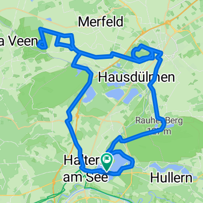
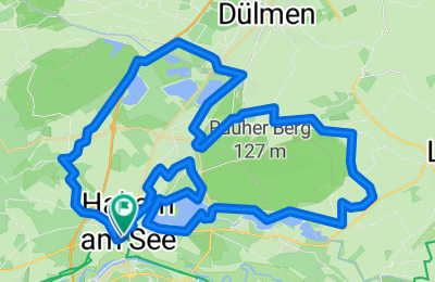
Cycling Route in Haltern, North Rhine-Westphalia, Germany

Halterner Stausee - Hohe Mark

0
Open this route in the Bikemap app

Open this route in the Bikemap app

Open this route in Bikemap Web

Open this route in Bikemap Web

60 km
Distance
175 m
Ascent
174 m
Descent
-:-- h
Duration
-- km/h
Avg. Speed
--- m
Max. Elevation

About This Route

Der Halterner Stausee ist eines der beliebtesten Naherholungsgebiete im Ruhrgebiet und wohl einer der schönsten Seen der Region. Mitten im Naturpark Hohe Mark im nördlichen Ruhrgebiet liegt bei Haltern am See, gerne auch Tor zum Münsterland genannt, dieTalsperre der Stever. Neben vielfältigen Wassersportmöglichkeiten ist am Halterner  Stausee besonders das große Strandbad beliebt, aber auch Wanderer, Jogger oder Radfahrer finden hier ihr Betätigungsfeld. 

You will cycle on the following surfaces: Paved Unpaved Gravel

Highlights Along The Route

Point of Interest

Große Teichsmühle Cafe Biergarten

Point of Interest

Seeterassen Restaurant

Customize this cycling route with the Bikemap route planner.

Make it yours!

Did you know? You can use this route as a template in our cycling route planner if you don't wish to start from scratch. Customize it based on your needs to plan your perfect cycling tour.

Open it in the app