

Amerika
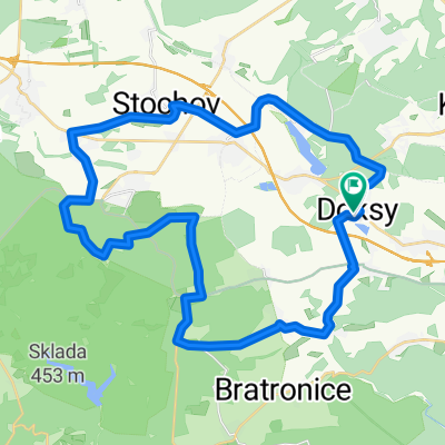
A cycling route starting in Doksy, Central Bohemia, Czechia.
Overview
About this route
Objezd Chrustenice po turistické červené je možné provést ale nestojí za to, cca 6x byla cesta za hranou. Jediné další pro mne nesjízdné místo je (asi 10 m srázu) po žluté na první vyhlídku nad Mexikem. Dvě těžší pasáže jsou od Mexika k lomu a sjezd od Královo studně.
- -:--
- Duration
- 87.7 km
- Distance
- 663 m
- Ascent
- 663 m
- Descent
- ---
- Avg. speed
- ---
- Avg. speed

Route quality
Waytypes & surfaces along the route
Waytypes
Track
44.4 km
(51 %)
Cycleway
11.2 km
(13 %)
Surfaces
Paved
26.9 km
(31 %)
Unpaved
40 km
(46 %)
Asphalt
20.5 km
(23 %)
Gravel
19.3 km
(22 %)
Continue with Bikemap
Use, edit, or download this cycling route
You would like to ride Amerika or customize it for your own trip? Here is what you can do with this Bikemap route:
Free features
- Save this route as favorite or in collections
- Copy & plan your own version of this route
- Sync your route with Garmin or Wahoo
Premium features
Free trial for 3 days, or one-time payment. More about Bikemap Premium.
- Navigate this route on iOS & Android
- Export a GPX / KML file of this route
- Create your custom printout (try it for free)
- Download this route for offline navigation
Discover more Premium features.
Get Bikemap PremiumFrom our community
Other popular routes starting in Doksy
 Dřevíč
- Distance
- 69.5 km
- Ascent
- 634 m
- Descent
- 634 m
- Location
- Doksy, Central Bohemia, Czechia
 Rozhledna Máminka
- Distance
- 80.6 km
- Ascent
- 1,071 m
- Descent
- 1,071 m
- Location
- Doksy, Central Bohemia, Czechia
 Rozhledna Pavlíkov
- Distance
- 79.9 km
- Ascent
- 751 m
- Descent
- 754 m
- Location
- Doksy, Central Bohemia, Czechia
 Na Lány za jeleny
- Distance
- 38.1 km
- Ascent
- 306 m
- Descent
- 302 m
- Location
- Doksy, Central Bohemia, Czechia
 Okruh Doksy-Unhost-Markuv mlyn-Horni Bezdekov-Doksy
- Distance
- 30 km
- Ascent
- 267 m
- Descent
- 264 m
- Location
- Doksy, Central Bohemia, Czechia
 Na Říp po silnici
- Distance
- 96.6 km
- Ascent
- 607 m
- Descent
- 605 m
- Location
- Doksy, Central Bohemia, Czechia
 Panenský Týnec - Peruc - Klobuky aneb cesta za Lemrouchem
- Distance
- 80.9 km
- Ascent
- 609 m
- Descent
- 599 m
- Location
- Doksy, Central Bohemia, Czechia
 Amerika
- Distance
- 87.7 km
- Ascent
- 663 m
- Descent
- 663 m
- Location
- Doksy, Central Bohemia, Czechia
Open it in the app