

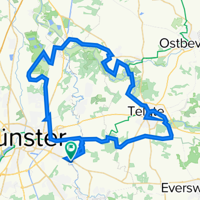
Warendorf
A cycling route starting in Münster, North Rhine-Westphalia, Germany.
Overview
About this route
Angelmodde - Telgte - Warendorf - Everswinkel - Wolbeck
(cloned from route 2666668)
- -:--
- Duration
- 53.3 km
- Distance
- 65 m
- Ascent
- 65 m
- Descent
- ---
- Avg. speed
- ---
- Avg. speed
Route quality
Waytypes & surfaces along the route
Waytypes
Quiet road
27.5 km
(52 %)
Road
12 km
(22 %)
Surfaces
Paved
50.7 km
(95 %)
Unpaved
0.5 km
(<1 %)
Asphalt
48.5 km
(91 %)
Paving stones
1.1 km
(2 %)
Continue with Bikemap
Use, edit, or download this cycling route
You would like to ride Warendorf or customize it for your own trip? Here is what you can do with this Bikemap route:
Free features
- Save this route as favorite or in collections
- Copy & plan your own version of this route
- Sync your route with Garmin or Wahoo
Premium features
Free trial for 3 days, or one-time payment. More about Bikemap Premium.
- Navigate this route on iOS & Android
- Export a GPX / KML file of this route
- Create your custom printout (try it for free)
- Download this route for offline navigation
Discover more Premium features.
Get Bikemap PremiumFrom our community
Other popular routes starting in Münster
 Giro 2011 - 110 km Strecke
- Distance
- 111.7 km
- Ascent
- 238 m
- Descent
- 235 m
- Location
- Münster, North Rhine-Westphalia, Germany
 Campingplatz - Emsauen- u. Kanal-Tour
- Distance
- 53.2 km
- Ascent
- 182 m
- Descent
- 179 m
- Location
- Münster, North Rhine-Westphalia, Germany
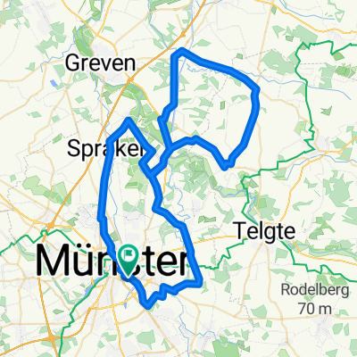
 Münster - Telgte - Münster
- Distance
- 39.6 km
- Ascent
- 43 m
- Descent
- 44 m
- Location
- Münster, North Rhine-Westphalia, Germany
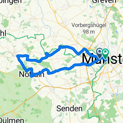
 Erste Münsterland Giro.2011 Erkundungstour
- Distance
- 66.9 km
- Ascent
- 54 m
- Descent
- 54 m
- Location
- Münster, North Rhine-Westphalia, Germany
 Giro 2010 55km
- Distance
- 56 km
- Ascent
- 238 m
- Descent
- 242 m
- Location
- Münster, North Rhine-Westphalia, Germany
 Baumbergekurztrip
- Distance
- 54.4 km
- Ascent
- 207 m
- Descent
- 208 m
- Location
- Münster, North Rhine-Westphalia, Germany
 Kurze Münsterlandrunde
- Distance
- 38.7 km
- Ascent
- 109 m
- Descent
- 109 m
- Location
- Münster, North Rhine-Westphalia, Germany
 Samstagnachmittagsrunde: 117 km Teuto/Schafberg
- Distance
- 117.5 km
- Ascent
- 635 m
- Descent
- 651 m
- Location
- Münster, North Rhine-Westphalia, Germany
Open it in the app