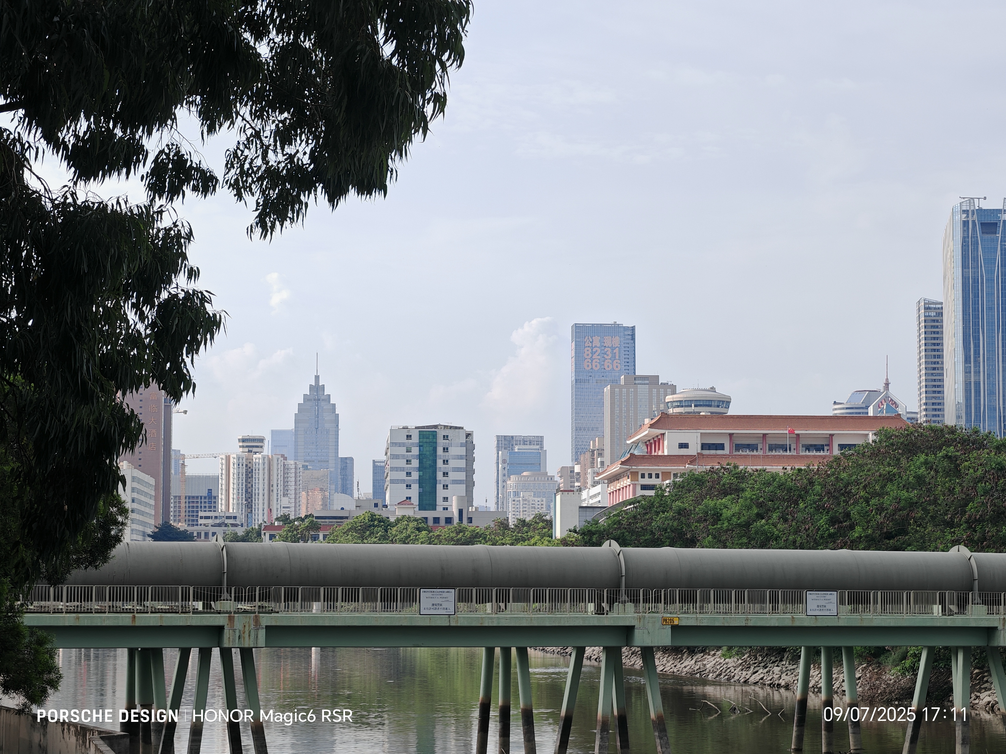
20151122 火炭_大美督_烏溪沙_火炭
A cycling route starting in Shatin, Sha Tin, Hong Kong.
Overview
About this route
20151122 火炭_汀角路_新娘潭路_大美督_三門仔_烏溪沙_火炭
長度 : 58 km 時間 : 8 hr 24min 移動時間 : 4hr 04min 休息時間 : 4hr 19min 移動均速 : 14 km/h 最高速度 : 53 km/h 上坡 : 393m 下坡 : 352m 卡路里消耗 : 3,892- -:--
- Duration
- 57.8 km
- Distance
- 188 m
- Ascent
- 188 m
- Descent
- ---
- Avg. speed
- ---
- Max. altitude
Route quality
Waytypes & surfaces along the route
Waytypes
Cycleway
33 km
(57 %)
Pedestrian area
12.7 km
(22 %)
Surfaces
Paved
26.6 km
(46 %)
Paved (undefined)
21.4 km
(37 %)
Asphalt
5.2 km
(9 %)
Undefined
31.2 km
(54 %)
Continue with Bikemap
Use, edit, or download this cycling route
You would like to ride 20151122 火炭_大美督_烏溪沙_火炭 or customize it for your own trip? Here is what you can do with this Bikemap route:
Free features
- Save this route as favorite or in collections
- Copy & plan your own version of this route
- Sync your route with Garmin or Wahoo
Premium features
Free trial for 3 days, or one-time payment. More about Bikemap Premium.
- Navigate this route on iOS & Android
- Export a GPX / KML file of this route
- Create your custom printout (try it for free)
- Download this route for offline navigation
Discover more Premium features.
Get Bikemap PremiumFrom our community
Other popular routes starting in Shatin
 TaiWai to TuenMun
- Distance
- 48 km
- Ascent
- 120 m
- Descent
- 116 m
- Location
- Shatin, Sha Tin, Hong Kong
 文禮路, 大圍 to Hoi Ying Rd, 馬鞍山
- Distance
- 13.5 km
- Ascent
- 154 m
- Descent
- 136 m
- Location
- Shatin, Sha Tin, Hong Kong
 My Second Ride
- Distance
- 3.7 km
- Ascent
- 79 m
- Descent
- 67 m
- Location
- Shatin, Sha Tin, Hong Kong
 20151122 火炭_大美督_烏溪沙_火炭
- Distance
- 57.8 km
- Ascent
- 188 m
- Descent
- 188 m
- Location
- Shatin, Sha Tin, Hong Kong
 1April2021
- Distance
- 19.9 km
- Ascent
- 0 m
- Descent
- 4 m
- Location
- Shatin, Sha Tin, Hong Kong
 CNY 2012 Hong Kong Big Round
- Distance
- 109.2 km
- Ascent
- 398 m
- Descent
- 395 m
- Location
- Shatin, Sha Tin, Hong Kong
 Tsuen Nam Rd, Tai Wai to Tsuen Nam Rd, Tai Wai
- Distance
- 48 km
- Ascent
- 681 m
- Descent
- 673 m
- Location
- Shatin, Sha Tin, Hong Kong
 Restful route
- Distance
- 33.5 km
- Ascent
- 267 m
- Descent
- 242 m
- Location
- Shatin, Sha Tin, Hong Kong
Open it in the app


