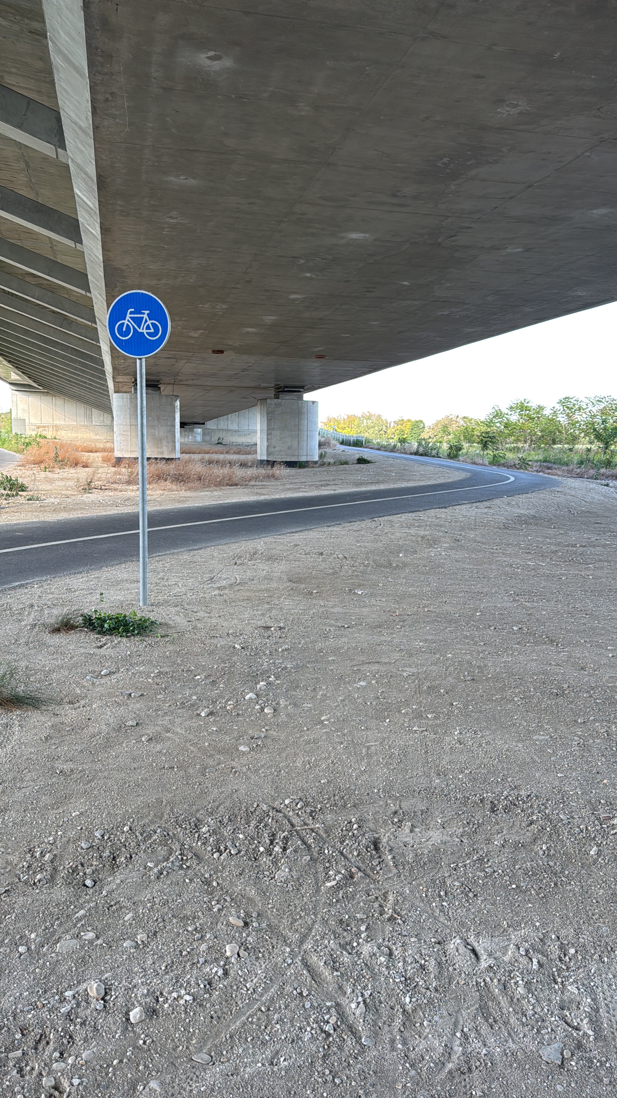
Pohodová cyklistika popri rieke Morava
A cycling route starting in Bratislava, Bratislavský kraj, Slovak Republic.
Overview
About this route
Cieľom cyklistiky okolo Moravy bol murárik červenokrídly a cyklistika
- -:--
- Duration
- 36 km
- Distance
- 57 m
- Ascent
- 95 m
- Descent
- ---
- Avg. speed
- ---
- Avg. speed
Route quality
Waytypes & surfaces along the route
Waytypes
Track
16 km
(44 %)
Cycleway
11 km
(31 %)
Surfaces
Paved
21.8 km
(61 %)
Unpaved
13.1 km
(36 %)
Asphalt
21.3 km
(59 %)
Ground
7.8 km
(22 %)
Route highlights
Points of interest along the route

Photo after 15.1 km
1.) Murárik červenokrídly - zimuje tu od októbra do februára 2.) Žlna - neviem, o aký druh sa konkrétne jedná, ale z diaľky vyzerá ako papagáj

Photo after 16.6 km
Volavky
Continue with Bikemap
Use, edit, or download this cycling route
You would like to ride Pohodová cyklistika popri rieke Morava or customize it for your own trip? Here is what you can do with this Bikemap route:
Free features
- Save this route as favorite or in collections
- Copy & plan your own version of this route
- Sync your route with Garmin or Wahoo
Premium features
Free trial for 3 days, or one-time payment. More about Bikemap Premium.
- Navigate this route on iOS & Android
- Export a GPX / KML file of this route
- Create your custom printout (try it for free)
- Download this route for offline navigation
Discover more Premium features.
Get Bikemap PremiumFrom our community
Other popular routes starting in Bratislava
 Road: Kopce na železnej studničke
- Distance
- 87.4 km
- Ascent
- 1,887 m
- Descent
- 1,882 m
- Location
- Bratislava, Bratislavský kraj, Slovak Republic
 Bratislava - Kitsee - Jarovce - Rusovce
- Distance
- 31.2 km
- Ascent
- 14 m
- Descent
- 17 m
- Location
- Bratislava, Bratislavský kraj, Slovak Republic
 okolo Hundsheimeru
- Distance
- 43 km
- Ascent
- 218 m
- Descent
- 210 m
- Location
- Bratislava, Bratislavský kraj, Slovak Republic
 na Veľký Javorník a späť
- Distance
- 39.4 km
- Ascent
- 550 m
- Descent
- 550 m
- Location
- Bratislava, Bratislavský kraj, Slovak Republic
 Žltá, Bratislava V to Fialová, Bratislava V
- Distance
- 10.8 km
- Ascent
- 104 m
- Descent
- 96 m
- Location
- Bratislava, Bratislavský kraj, Slovak Republic
 Petrzalka-Biely Kriz-Svaty Jur-Vrakuna-Petrzalka
- Distance
- 70 km
- Ascent
- 804 m
- Descent
- 802 m
- Location
- Bratislava, Bratislavský kraj, Slovak Republic
 Milanova80tka
- Distance
- 74.9 km
- Ascent
- 48 m
- Descent
- 48 m
- Location
- Bratislava, Bratislavský kraj, Slovak Republic
 Okolo Hainburgských vŕškov
- Distance
- 41 km
- Ascent
- 177 m
- Descent
- 178 m
- Location
- Bratislava, Bratislavský kraj, Slovak Republic
Open it in the app


