Premium Badge Download on the App Store Get it on Google Play Turn-by-turn Navigation Offline Maps Bike Type Optimized Routing Premium Maps Custom Bike Computer Export Routes Route Previews Fall Detection Premium Support

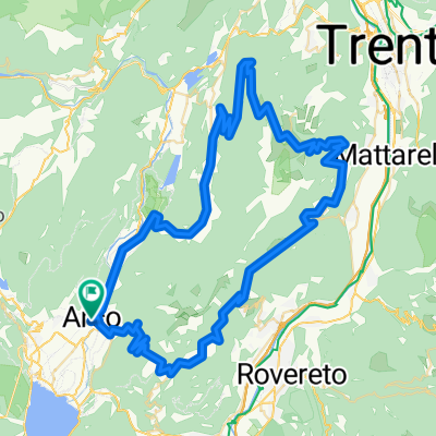
Cycling Route in Arco, Trentino-Alto Adige, Italy

Arco - Lago die Cavedine

3
Open this route in the Bikemap app

Open this route in the Bikemap app

Open this route in Bikemap Web

Open this route in Bikemap Web

36 km
Distance
1127 m
Ascent
1063 m
Descent
-:-- h
Duration
-- km/h
Avg. Speed
723 m
Max. Elevation

About This Route

Die Tour geht bergauf immer auf Teerstraßen. Ab Brusino wird es anfangs ein bisschen steiler und bald geht dann auch noch auf einer Forststraße rauf zum höchsten Punkt.

Bergab geht es erstmal auf einer Forststraße, welche man bei km 19 verlässt und auf einem schönen Pfad leider nur einen km weiterfährt.

Ab km 23 geht es noch mal anstrengend einen Wanderweg mit losem Schotter rauf. Danach gehts richtig schön auf einem Pfad bis nach Dro runter.

This cycling route is ideal for: MTB City bike

You will cycle on the following surfaces: Paved Unpaved Gravel

Customize this cycling route with the Bikemap route planner.

Make it yours!

Did you know? You can use this route as a template in our cycling route planner if you don't wish to start from scratch. Customize it based on your needs to plan your perfect cycling tour.

Open it in the app