

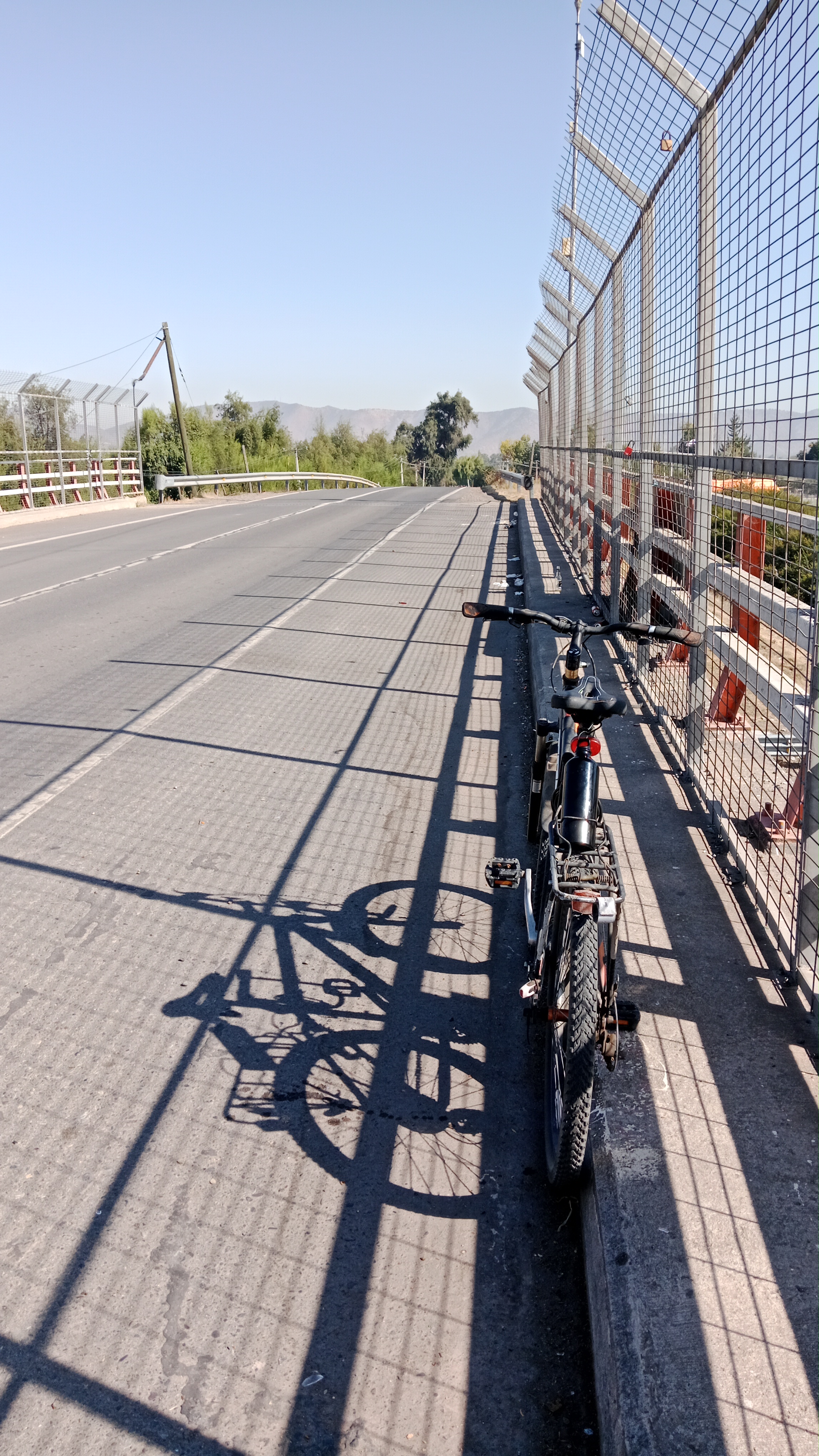
Curacaví - Cerro Viejo - Colliguay - La Retuca
A cycling route starting in Peñaflor, Santiago Metropolitan, Chile.
Overview
About this route
Curacaví - Cerro Viejo - Colliguay - La Retuca
- -:--
- Duration
- 65.8 km
- Distance
- 801 m
- Ascent
- 806 m
- Descent
- ---
- Avg. speed
- ---
- Avg. speed

Route quality
Waytypes & surfaces along the route
Waytypes
Busy road
50.4 km
(77 %)
Road
13.5 km
(21 %)
Surfaces
Paved
50.7 km
(77 %)
Unpaved
15 km
(23 %)
Paved (undefined)
25.7 km
(39 %)
Asphalt
25.1 km
(38 %)
Continue with Bikemap
Use, edit, or download this cycling route
You would like to ride Curacaví - Cerro Viejo - Colliguay - La Retuca or customize it for your own trip? Here is what you can do with this Bikemap route:
Free features
- Save this route as favorite or in collections
- Copy & plan your own version of this route
- Sync your route with Garmin or Wahoo
Premium features
Free trial for 3 days, or one-time payment. More about Bikemap Premium.
- Navigate this route on iOS & Android
- Export a GPX / KML file of this route
- Create your custom printout (try it for free)
- Download this route for offline navigation
Discover more Premium features.
Get Bikemap PremiumFrom our community
Other popular routes starting in Peñaflor
 De Santa Rosa 2532, Penaflor a San Francisco, Talagante
- Distance
- 14.1 km
- Ascent
- 9 m
- Descent
- 107 m
- Location
- Peñaflor, Santiago Metropolitan, Chile
 1jota
1jota- Distance
- 7.8 km
- Ascent
- 54 m
- Descent
- 67 m
- Location
- Peñaflor, Santiago Metropolitan, Chile
 De San José de Tango, Calera de Tango a Regidor Luis Alarcon C. 1309, Padre Hurtado
- Distance
- 9.7 km
- Ascent
- 33 m
- Descent
- 75 m
- Location
- Peñaflor, Santiago Metropolitan, Chile
 Cronoescalada Mallarauco
- Distance
- 7.9 km
- Ascent
- 478 m
- Descent
- 201 m
- Location
- Peñaflor, Santiago Metropolitan, Chile
 De Alcalde Luis Araya Cereceda 1046, Penaflor a Camino Mallarauco, Peñaflor
- Distance
- 5.1 km
- Ascent
- 8 m
- Descent
- 15 m
- Location
- Peñaflor, Santiago Metropolitan, Chile
 De Malloquito 2686, Penaflor a Santa Rosa 959, Penaflor
- Distance
- 34.4 km
- Ascent
- 60 m
- Descent
- 65 m
- Location
- Peñaflor, Santiago Metropolitan, Chile
 De Alcalde Luis Araya Cereceda 1046, Penaflor a Camino Mallarauco, Peñaflor
- Distance
- 7.8 km
- Ascent
- 48 m
- Descent
- 52 m
- Location
- Peñaflor, Santiago Metropolitan, Chile
 Ruta tranquila en Peñaflor
- Distance
- 12.1 km
- Ascent
- 240 m
- Descent
- 259 m
- Location
- Peñaflor, Santiago Metropolitan, Chile
Open it in the app