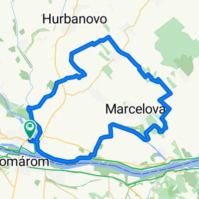
Cycling Route in Komárno, Nitriansky kraj, Slovak Republic
Csárda túra Extrem 110km
1

Open this route in the Bikemap app

Open this route in Bikemap Web
109
km
Distance
Distance
238
m
Ascent
Ascent
239
m
Descent
Descent
-:--
h
Duration
Duration
--
km/h
Avg. Speed
Avg. Speed
---
m
Max. Elevation
Max. Elevation