Premium Badge Download on the App Store Get it on Google Play Turn-by-turn Navigation Offline Maps Bike Type Optimized Routing Premium Maps Custom Bike Computer Export Routes Route Previews Fall Detection Premium Support

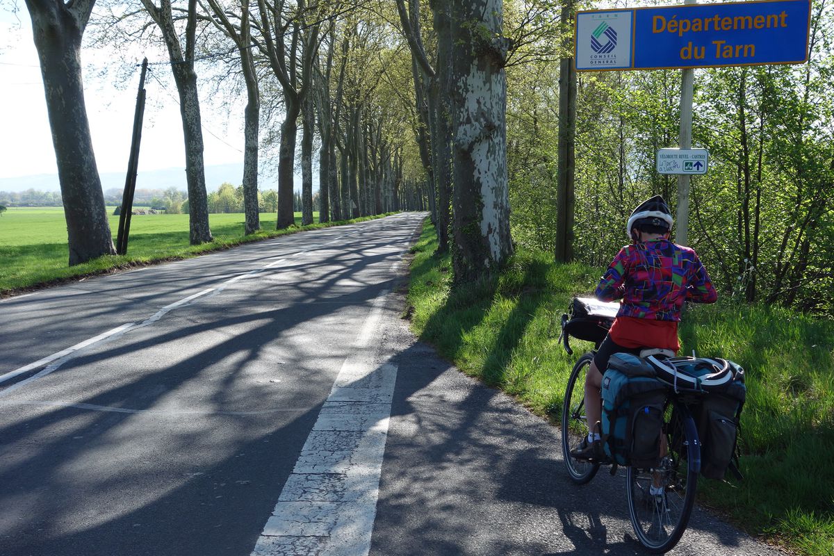
Cycling Route in Saint-Félix-Lauragais, Languedoc-Roussillon-Midi-Pyrénées, France

2016 Ride Day 57 - Nogaret to Lacaune

1
Open this route in the Bikemap app

Open this route in the Bikemap app

Open this route in Bikemap Web

Open this route in Bikemap Web

86 km
Distance
1147 m
Ascent
566 m
Descent
-:-- h
Duration
-- km/h
Avg. Speed
--- m
Max. Elevation

About This Route

Today's ride was pretty much all on relatively main road. From where we hit D1/D85 through Revel until close to Castres, the road was normally OK as there wasn't so much traffic. It's even designated a Tarn bike route, though that was probably by a non-bicycle rider as there's no shoulder and nothing other that we saw aside from a few signs noting the fact.

From Castres to Brassac, there was more traffic with long steady climbs that felt like a slog. The final leg from Brassac to Lacaune had much less traffic and was an absolute pleasure with nice climbing and great views.

This cycling route is ideal for: Road bike

You will cycle on the following surfaces: Paved

Route Photos

Customize this cycling route with the Bikemap route planner.

Make it yours!

Did you know? You can use this route as a template in our cycling route planner if you don't wish to start from scratch. Customize it based on your needs to plan your perfect cycling tour.

Open it in the app