

Olten - Biel (Höllentour: 180km, 6'000 Hm)
A cycling route starting in Olten, Canton of Solothurn, Switzerland.
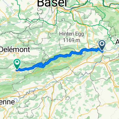
Overview
About this route
vorwiegend auf (beinahe) autofreien Nebenstrassen
- -:--
- Duration
- 179.9 km
- Distance
- 4,945 m
- Ascent
- 4,906 m
- Descent
- ---
- Avg. speed
- ---
- Avg. speed
Route quality
Waytypes & surfaces along the route
Waytypes
Road
68 km
(38 %)
Quiet road
67.6 km
(38 %)
Surfaces
Paved
116.9 km
(65 %)
Unpaved
13.3 km
(7 %)
Asphalt
113.2 km
(63 %)
Ground
5.8 km
(3 %)
Continue with Bikemap
Use, edit, or download this cycling route
You would like to ride Olten - Biel (Höllentour: 180km, 6'000 Hm) or customize it for your own trip? Here is what you can do with this Bikemap route:
Free features
- Save this route as favorite or in collections
- Copy & plan your own version of this route
- Sync your route with Garmin or Wahoo
Premium features
Free trial for 3 days, or one-time payment. More about Bikemap Premium.
- Navigate this route on iOS & Android
- Export a GPX / KML file of this route
- Create your custom printout (try it for free)
- Download this route for offline navigation
Discover more Premium features.
Get Bikemap PremiumFrom our community
Other popular routes starting in Olten
 Schafmattrunde Olten
- Distance
- 37.3 km
- Ascent
- 909 m
- Descent
- 890 m
- Location
- Olten, Canton of Solothurn, Switzerland
 Glaubenberg, Glaubenbüehlen, Lüderealp
- Distance
- 208.4 km
- Ascent
- 2,690 m
- Descent
- 2,703 m
- Location
- Olten, Canton of Solothurn, Switzerland
 Valentino-Löwen Rennen. Olten-Gränichen-Olten
- Distance
- 44.2 km
- Ascent
- 416 m
- Descent
- 406 m
- Location
- Olten, Canton of Solothurn, Switzerland
 20151113 AG/BL/SO-Combo
- Distance
- 60.1 km
- Ascent
- 1,419 m
- Descent
- 1,419 m
- Location
- Olten, Canton of Solothurn, Switzerland
 Olten - Hauenstein - Schaafmatt - Olten
- Distance
- 31.5 km
- Ascent
- 652 m
- Descent
- 655 m
- Location
- Olten, Canton of Solothurn, Switzerland
 Scheltenpass mit Weissenstein
- Distance
- 79.6 km
- Ascent
- 1,597 m
- Descent
- 1,558 m
- Location
- Olten, Canton of Solothurn, Switzerland
 Olten - Moutier
- Distance
- 58.8 km
- Ascent
- 2,201 m
- Descent
- 1,802 m
- Location
- Olten, Canton of Solothurn, Switzerland
 3-TagesTour 2 - Olten - Waldshut
- Distance
- 93.7 km
- Ascent
- 978 m
- Descent
- 1,036 m
- Location
- Olten, Canton of Solothurn, Switzerland
Open it in the app