

Cottbus-Wien-2015
A cycling route starting in Cottbus, Brandenburg, Germany.
Overview
About this route
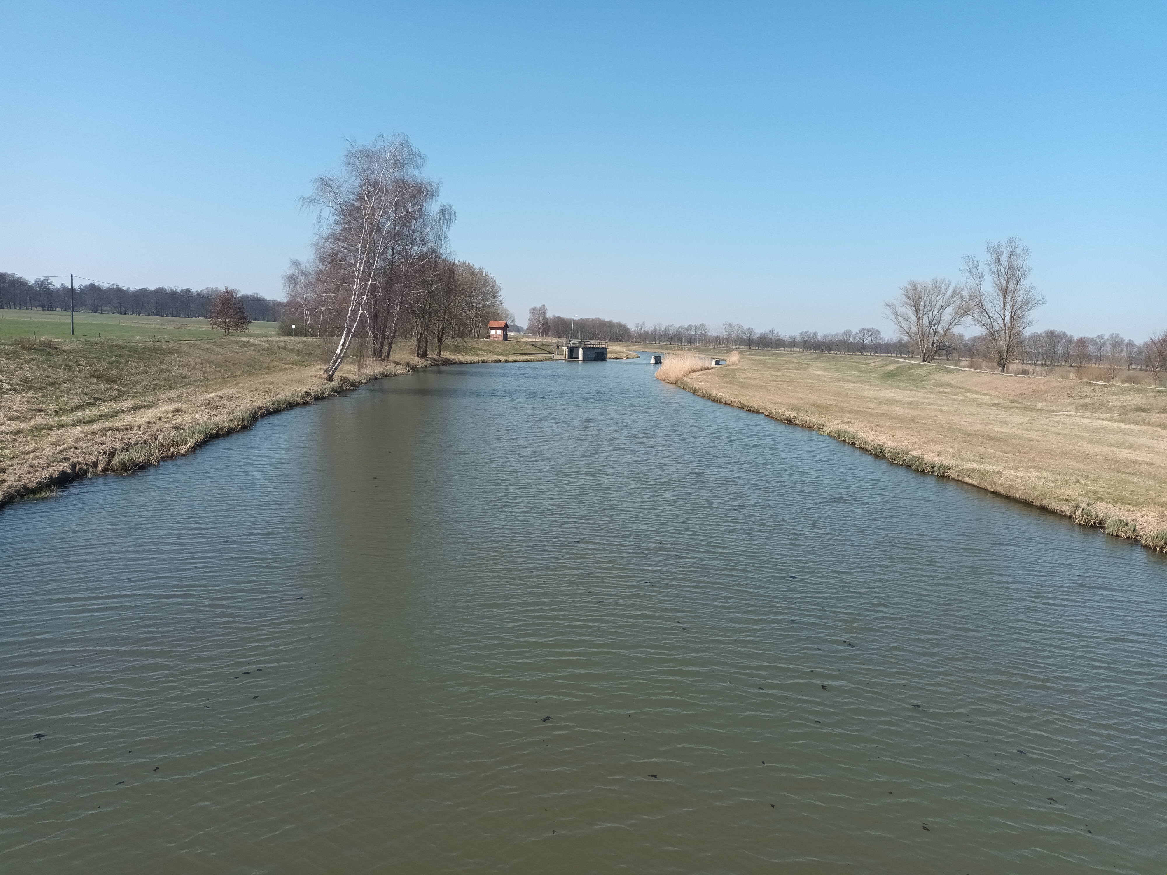
Abwechslungsreiche Tour von der Neiße zur Donau. Abschnitt Zittau - Jonsdorf per Dampfeisenbahn zurückgelegt. Eine positive Überraschung waren die guten Beschilderungen sowie der überwiegend gute Zustand der Radrouten in Tschechien. Zahllose Nebenstraßen sind hier mit bis zu 4-stelligen Nummern ausgewiesen (-->www.cykloserver.cz/cykloatlas). Hier und da muss man dennoch mit Unpassierbarkeit der Wege rechnen.
Unbedingt sehenswert: Höhlen im mährischen Karst bei Blansko (Punkva-Höhle).
Im Übergang von Mikulov nach Österreich (Poysdorf) sollte man dringend eine Nebenroute wählen, abseits der hier dokumentierten Hauptstraße.
- -:--
- Duration
- 754.4 km
- Distance
- 979 m
- Ascent
- 852 m
- Descent
- ---
- Avg. speed
- ---
- Avg. speed

Route quality
Waytypes & surfaces along the route
Waytypes
Road
204.7 km
(27 %)
Quiet road
181.1 km
(24 %)
Surfaces
Paved
447.8 km
(59 %)
Unpaved
55.2 km
(7 %)
Asphalt
424.2 km
(56 %)
Gravel
32.3 km
(4 %)
Continue with Bikemap
Use, edit, or download this cycling route
You would like to ride Cottbus-Wien-2015 or customize it for your own trip? Here is what you can do with this Bikemap route:
Free features
- Save this route as favorite or in collections
- Copy & plan your own version of this route
- Sync your route with Garmin or Wahoo
Premium features
Free trial for 3 days, or one-time payment. More about Bikemap Premium.
- Navigate this route on iOS & Android
- Export a GPX / KML file of this route
- Create your custom printout (try it for free)
- Download this route for offline navigation
Discover more Premium features.
Get Bikemap PremiumFrom our community
Other popular routes starting in Cottbus
 Straubitz Mühle
- Distance
- 69.4 km
- Ascent
- 55 m
- Descent
- 14 m
- Location
- Cottbus, Brandenburg, Germany
 BRT2013-FR: Teichland - Tour - RTF der RSV Peitz e.V. + Teichlandradler e.V. beim BRT2013 in Cottbus - 75 km Strecke
- Distance
- 74.1 km
- Ascent
- 95 m
- Descent
- 96 m
- Location
- Cottbus, Brandenburg, Germany
 Ostsee Rundweg
- Distance
- 34.1 km
- Ascent
- 69 m
- Descent
- 70 m
- Location
- Cottbus, Brandenburg, Germany
 Cottbus Mitte - Sielow - Werben - Burg - Briesen - Striesow - Dissen - Sielow - Cottbus Mitte
- Distance
- 41.4 km
- Ascent
- 69 m
- Descent
- 72 m
- Location
- Cottbus, Brandenburg, Germany
 BRT2013-MI: Tour de Spreewald - RTF der Radsportclub Cottbus e.V. - Veloteam beim BRT2013 in Cottbus - 115 km Strecke
- Distance
- 118.6 km
- Ascent
- 86 m
- Descent
- 87 m
- Location
- Cottbus, Brandenburg, Germany
 BRT2013-SA: Sparkassen - Tour - RTF der Radsportclub Cottbus e.V. - Veloteam beim BRT2013 in Cottbus - 115 km Strecke
- Distance
- 113.8 km
- Ascent
- 255 m
- Descent
- 255 m
- Location
- Cottbus, Brandenburg, Germany
 spree
spree- Distance
- 33.3 km
- Ascent
- 31 m
- Descent
- 50 m
- Location
- Cottbus, Brandenburg, Germany
 Nach Hornow
- Distance
- 69.3 km
- Ascent
- 128 m
- Descent
- 109 m
- Location
- Cottbus, Brandenburg, Germany
Open it in the app