

Tour de France 2016 Stage 17: 184 km Bern - Finhaut-Emosson
A cycling route starting in Bern, Canton of Bern, Switzerland.
Overview
About this route
{Wednesday, 20 July}
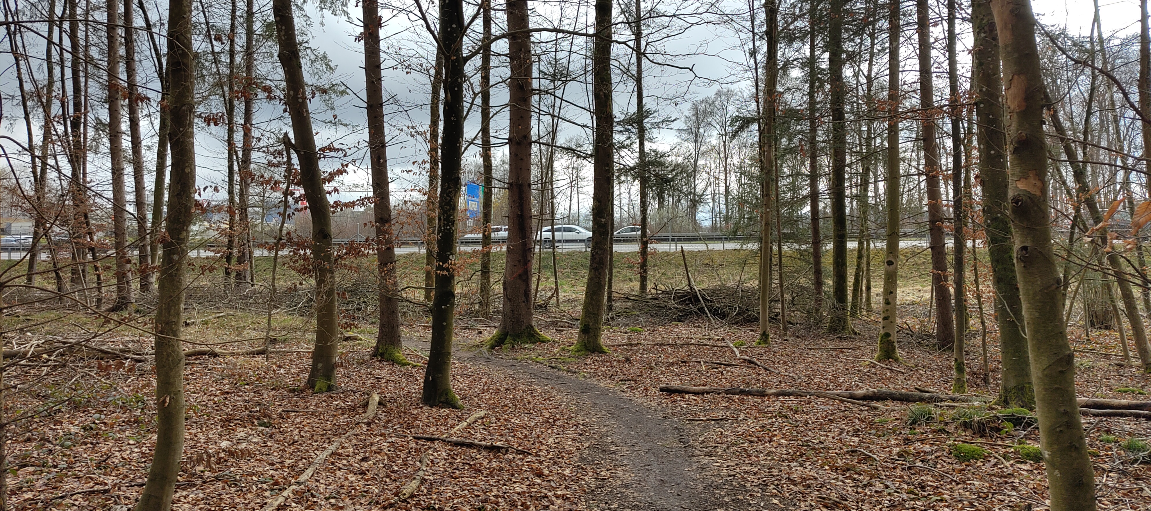
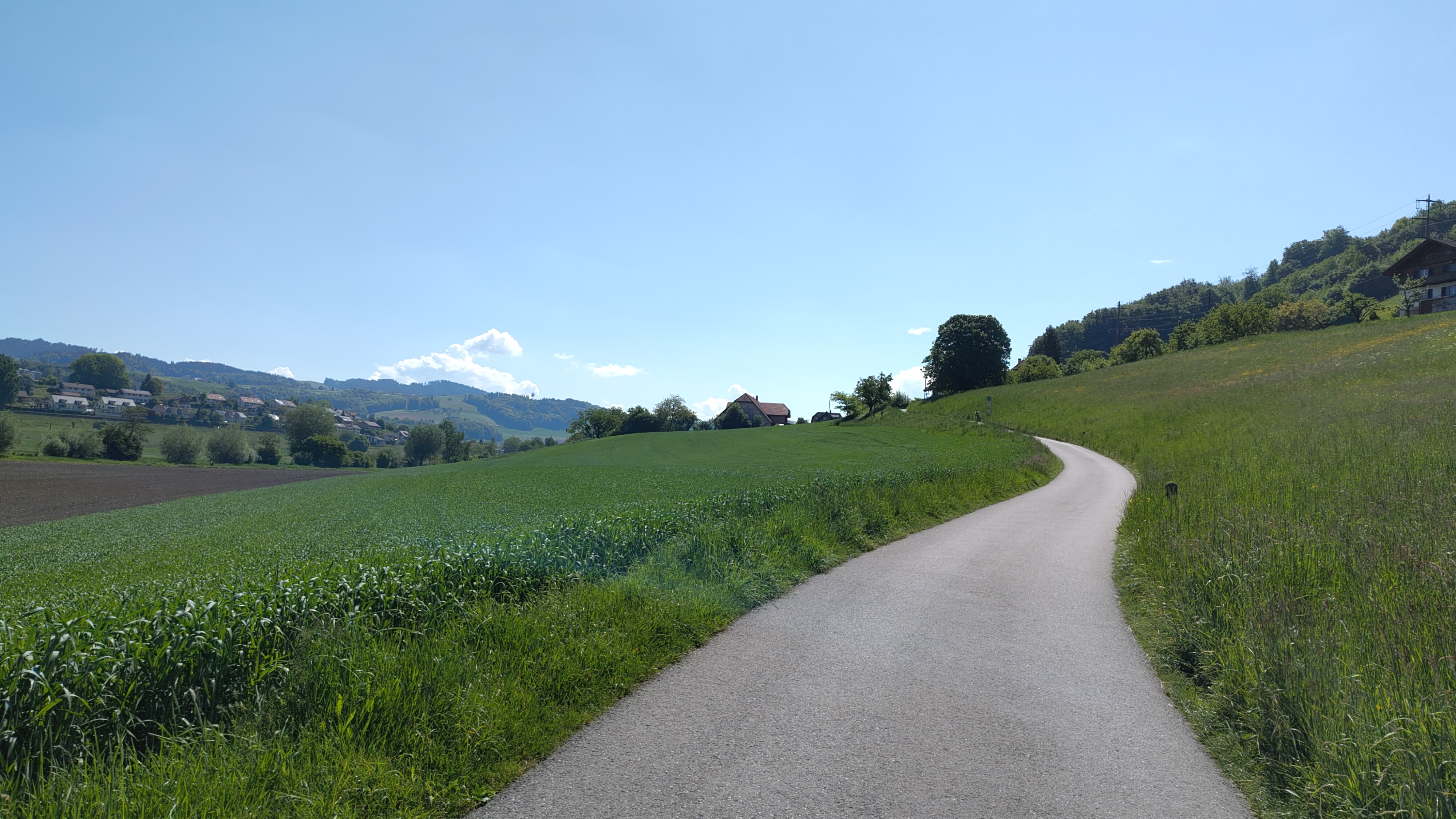
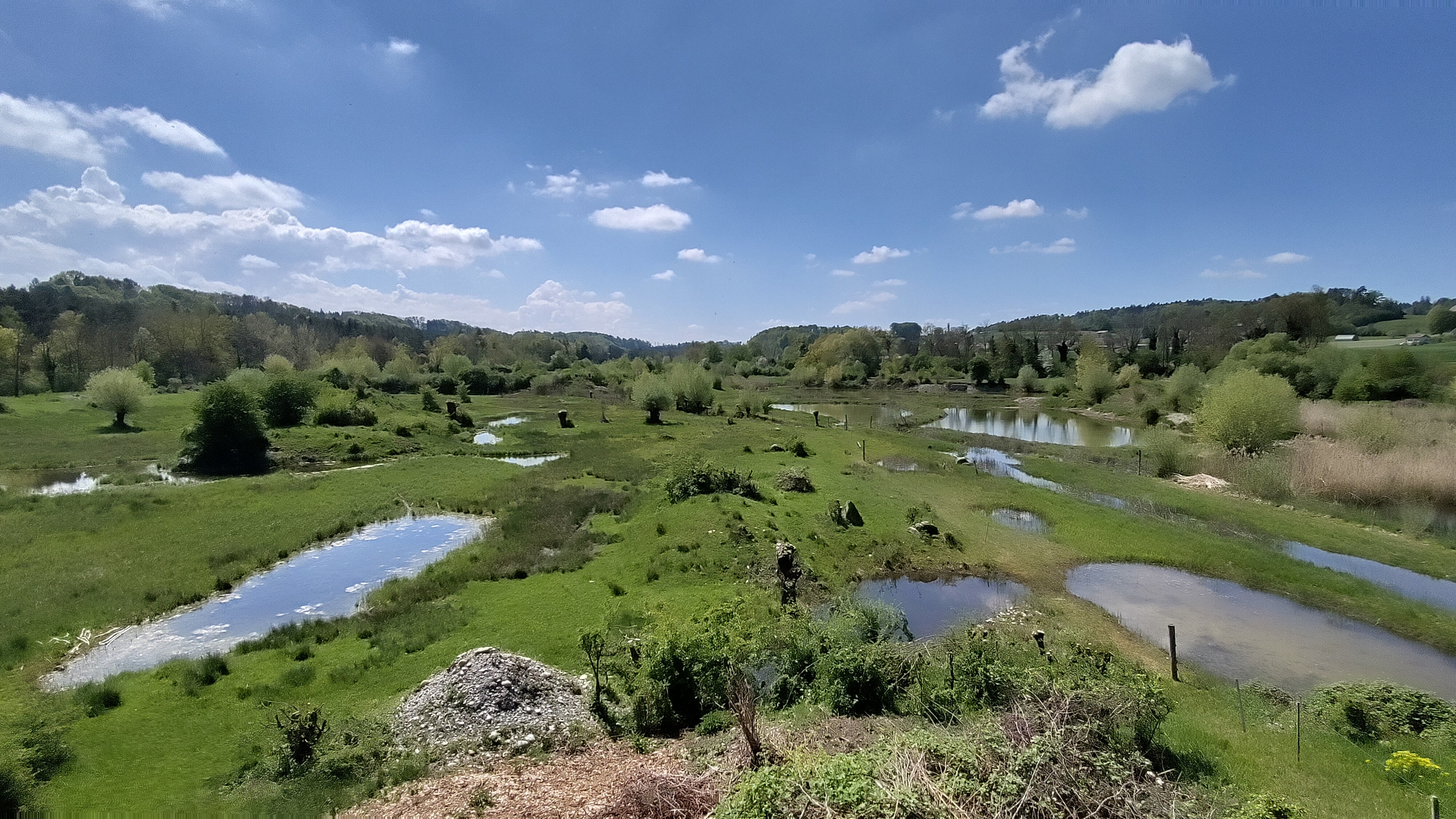
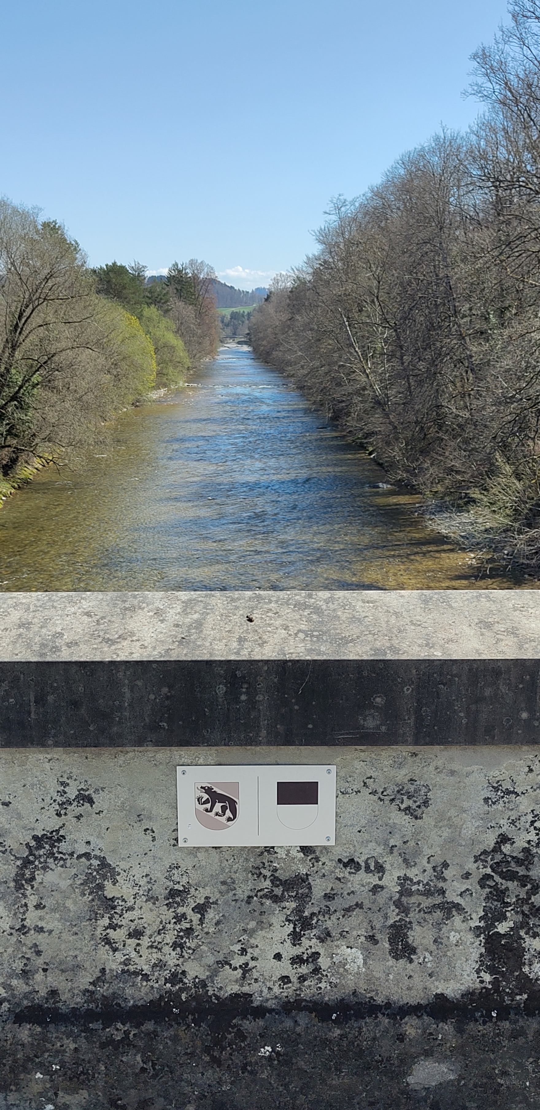
After a rest day in Bern the stage begins with a neutralised ride through the UNESCO World Heritage Site that is the old town of the Swiss capital city. A mountainous stage which includes a 1100 m steep climb from Martigny to the Col de la Forclaz and the spectacular artificial mountain lake, Lac d'Emosson.
{Mittwoch, 20. Juli)
Nach einem Rasttag in der Schweizer Hauptstadt beginnt diese Etappe mit einer neutralisierten Fahrt durch die Altstadt von Bern, welche UNESCO Weltkulturerbestatus hat. Es folgt eine bergige Route mit einem 1100 m steilen Anstieg von Martigny auf den Col de la Forclaz und einem spektakulären Finale beim Stausee Lac d'Emosson über Finhaut.
All Stages / Etappenübersicht
- -:--
- Duration
- 202.7 km
- Distance
- 3,271 m
- Ascent
- 1,866 m
- Descent
- ---
- Avg. speed
- ---
- Avg. speed

Route quality
Waytypes & surfaces along the route
Waytypes
Busy road
129.5 km
(64 %)
Quiet road
34.5 km
(17 %)
Surfaces
Paved
126.2 km
(62 %)
Unpaved
7.1 km
(4 %)
Asphalt
125 km
(62 %)
Gravel
4.8 km
(2 %)
Continue with Bikemap
Use, edit, or download this cycling route
You would like to ride Tour de France 2016 Stage 17: 184 km Bern - Finhaut-Emosson or customize it for your own trip? Here is what you can do with this Bikemap route:
Free features
- Save this route as favorite or in collections
- Copy & plan your own version of this route
- Sync your route with Garmin or Wahoo
Premium features
Free trial for 3 days, or one-time payment. More about Bikemap Premium.
- Navigate this route on iOS & Android
- Export a GPX / KML file of this route
- Create your custom printout (try it for free)
- Download this route for offline navigation
Discover more Premium features.
Get Bikemap PremiumFrom our community
Other popular routes starting in Bern
 bern - emmental - thun - bern
- Distance
- 82 km
- Ascent
- 570 m
- Descent
- 569 m
- Location
- Bern, Canton of Bern, Switzerland
 Aare-Fyrabe-Loop
- Distance
- 14.7 km
- Ascent
- 263 m
- Descent
- 264 m
- Location
- Bern, Canton of Bern, Switzerland
 Matchvorbereitig Basu-YB, Aareschloufe-Bremertrail retour
- Distance
- 29.6 km
- Ascent
- 351 m
- Descent
- 384 m
- Location
- Bern, Canton of Bern, Switzerland
 128.151 Thunersee via Heiligenschwendi
- Distance
- 128.1 km
- Ascent
- 1,248 m
- Descent
- 1,248 m
- Location
- Bern, Canton of Bern, Switzerland
 Schüpberg-Winterswil-Rundi
- Distance
- 39.9 km
- Ascent
- 415 m
- Descent
- 463 m
- Location
- Bern, Canton of Bern, Switzerland
 Hämlismatt-Rundi
- Distance
- 57.6 km
- Ascent
- 622 m
- Descent
- 672 m
- Location
- Bern, Canton of Bern, Switzerland
 C60+ Test Schiffenensee-Düdingen
- Distance
- 50 km
- Ascent
- 588 m
- Descent
- 585 m
- Location
- Bern, Canton of Bern, Switzerland
 Haldenstrasse 70, Bern nach Haldenstrasse 60, Bern
- Distance
- 58.5 km
- Ascent
- 471 m
- Descent
- 513 m
- Location
- Bern, Canton of Bern, Switzerland
Open it in the app