

Exploring the Jura Department
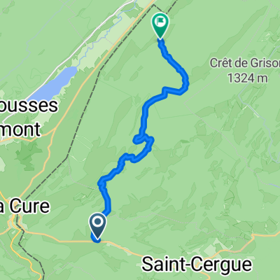
A cycling route starting in Saint-Cergue, Canton of Vaud, Switzerland.
Overview
About this route
- -:--
- Duration
- 90.8 km
- Distance
- 1,373 m
- Ascent
- 1,373 m
- Descent
- ---
- Avg. speed
- ---
- Avg. speed

Route quality
Waytypes & surfaces along the route
Waytypes
Busy road
45.6 km
(50 %)
Road
41.3 km
(45 %)
Surfaces
Paved
51.9 km
(57 %)
Asphalt
51.9 km
(57 %)
Undefined
38.9 km
(43 %)
Route highlights
Points of interest along the route
Point of interest after 25.2 km
Les Lacets de Septmoncel
Point of interest after 52.8 km
Côte de Chaumont - 1171 metres
Point of interest after 86.3 km
Côte de Prémanon - 1155 metres
Continue with Bikemap
Use, edit, or download this cycling route
You would like to ride Exploring the Jura Department or customize it for your own trip? Here is what you can do with this Bikemap route:
Free features
- Save this route as favorite or in collections
- Copy & plan your own version of this route
- Sync your route with Garmin or Wahoo
Premium features
Free trial for 3 days, or one-time payment. More about Bikemap Premium.
- Navigate this route on iOS & Android
- Export a GPX / KML file of this route
- Create your custom printout (try it for free)
- Download this route for offline navigation
Discover more Premium features.
Get Bikemap PremiumFrom our community
Other popular routes starting in Saint-Cergue
 St Cergue - Grutli - Les Fruitieres de Nyon
- Distance
- 24.8 km
- Ascent
- 653 m
- Descent
- 610 m
- Location
- Saint-Cergue, Canton of Vaud, Switzerland
 2020 - Gorets - J3 - P1
- Distance
- 11.9 km
- Ascent
- 459 m
- Descent
- 366 m
- Location
- Saint-Cergue, Canton of Vaud, Switzerland
 sommet baudichone - givrine
- Distance
- 8.1 km
- Ascent
- 187 m
- Descent
- 378 m
- Location
- Saint-Cergue, Canton of Vaud, Switzerland
 Untitled route
- Distance
- 62.9 km
- Ascent
- 1,360 m
- Descent
- 1,871 m
- Location
- Saint-Cergue, Canton of Vaud, Switzerland
 Jura2011(B): Col de la Givrine bis Goumois
- Distance
- 191.2 km
- Ascent
- 1,351 m
- Descent
- 2,062 m
- Location
- Saint-Cergue, Canton of Vaud, Switzerland
 St-Cergue-La Barillette?? à Ä„Ω??
- Distance
- 18.1 km
- Ascent
- 876 m
- Descent
- 883 m
- Location
- Saint-Cergue, Canton of Vaud, Switzerland
 Bourg-en-Bresse - Les Rousses
- Distance
- 179 km
- Ascent
- 1,894 m
- Descent
- 2,728 m
- Location
- Saint-Cergue, Canton of Vaud, Switzerland
 Jura ride
- Distance
- 69.3 km
- Ascent
- 909 m
- Descent
- 909 m
- Location
- Saint-Cergue, Canton of Vaud, Switzerland
Open it in the app