

Girolibero: Cornovaglia
A cycling route starting in St Ives, England, United Kingdom.
Overview
About this route
Pernottamenti: St Ives, Falmouth, Lizard Point, Penzance.
Percorso: Il percorso presenta saliscendi e il chilometraggio è in alcune tappe piuttosto sostenuto (fino a 70 km). E’ pertanto consigliabile un discreto allenamento. Le condizioni meteorologiche possono rendere più difficoltosa la pedalata.- -:--
- Duration
- 261.4 km
- Distance
- 1,065 m
- Ascent
- 1,045 m
- Descent
- ---
- Avg. speed
- ---
- Avg. speed

Route highlights
Points of interest along the route
Point of interest after 22.5 km
St.Just
Point of interest after 30.7 km
Sennen Cove
Point of interest after 30.7 km
Land's End
Point of interest after 44.4 km
Lamorna
Point of interest after 50 km
Mousehole
Point of interest after 107.7 km
St.Agnes
Point of interest after 157.2 km
St.Mawes
Accommodation after 182.3 km
Falmouth
Point of interest after 198.3 km
Gweek
Point of interest after 213.3 km
Cadgwith
Point of interest after 218.5 km
Lizard Point
Point of interest after 225.8 km
Mullion
Point of interest after 228 km
Poldhu
Point of interest after 237.5 km
Helston
Point of interest after 255.3 km
Marazion
Point of interest after 255.6 km
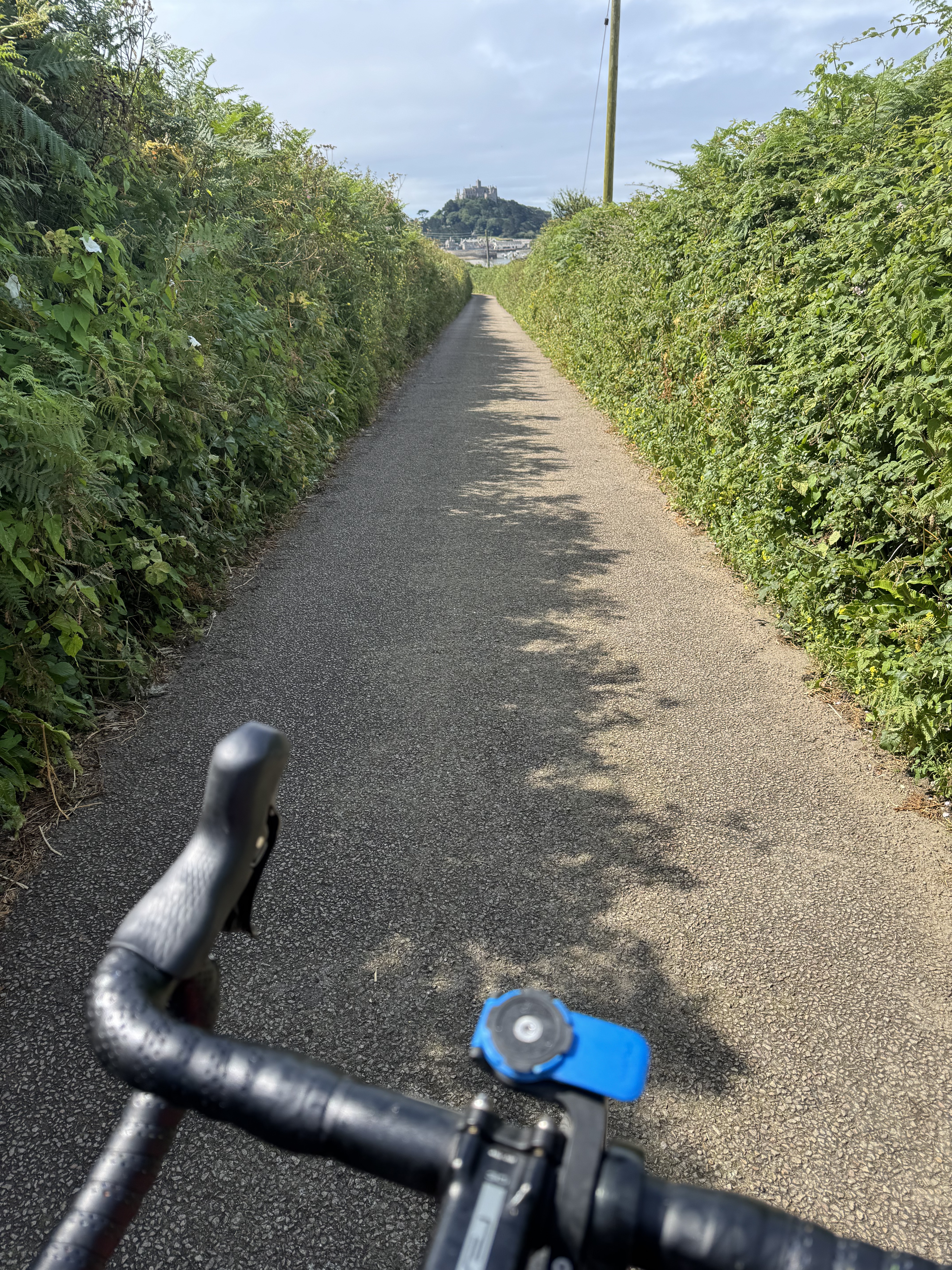
St Michaels Mount
Point of interest after 261.1 km
Penzance
Continue with Bikemap
Use, edit, or download this cycling route
You would like to ride Girolibero: Cornovaglia or customize it for your own trip? Here is what you can do with this Bikemap route:
Free features
- Save this route as favorite or in collections
- Copy & plan your own version of this route
- Sync your route with Garmin or Wahoo
Premium features
Free trial for 3 days, or one-time payment. More about Bikemap Premium.
- Navigate this route on iOS & Android
- Export a GPX / KML file of this route
- Create your custom printout (try it for free)
- Download this route for offline navigation
Discover more Premium features.
Get Bikemap PremiumFrom our community
Other popular routes starting in St Ives
 25 miler via Relubbus
- Distance
- 40.3 km
- Ascent
- 363 m
- Descent
- 363 m
- Location
- St Ives, England, United Kingdom
 Trelyon Avenue, St Ives to Gwinear Road, Hayle
- Distance
- 31.2 km
- Ascent
- 468 m
- Descent
- 442 m
- Location
- St Ives, England, United Kingdom
 Day 3: St. Ives - Porthcurno
- Distance
- 37 km
- Ascent
- 279 m
- Descent
- 318 m
- Location
- St Ives, England, United Kingdom
 Saint Ives to The Wharf, Mousehole
- Distance
- 19.5 km
- Ascent
- 286 m
- Descent
- 337 m
- Location
- St Ives, England, United Kingdom
 LEJOG stage 1
- Distance
- 100.7 km
- Ascent
- 893 m
- Descent
- 712 m
- Location
- St Ives, England, United Kingdom
 Carbis Loop - Route 1
- Distance
- 24.3 km
- Ascent
- 468 m
- Descent
- 470 m
- Location
- St Ives, England, United Kingdom
 IvesIves
- Distance
- 78.3 km
- Ascent
- 609 m
- Descent
- 526 m
- Location
- St Ives, England, United Kingdom
 Zennor Route to Meadow Flats 6
- Distance
- 18.5 km
- Ascent
- 508 m
- Descent
- 496 m
- Location
- St Ives, England, United Kingdom
Open it in the app