

Stuttgart Radelthon
A cycling route starting in Korntal, Baden-Wurttemberg, Germany.
Overview
About this route
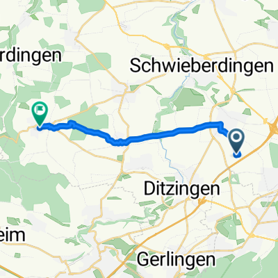
Route asphaltiert und auf Schotter-/Kiewegen insbesondere im westlichen Wladgebiet und zwischen Neckartal und Sillenbuch (dort auch deutliche Steigung im Wald)
- -:--
- Duration
- 79.4 km
- Distance
- 851 m
- Ascent
- 748 m
- Descent
- ---
- Avg. speed
- 524 m
- Max. altitude
Route quality
Waytypes & surfaces along the route
Waytypes
Track
39.7 km
(50 %)
Quiet road
12.7 km
(16 %)
Surfaces
Paved
49.3 km
(62 %)
Unpaved
26.2 km
(33 %)
Asphalt
47.7 km
(60 %)
Loose gravel
16.7 km
(21 %)
Continue with Bikemap
Use, edit, or download this cycling route
You would like to ride Stuttgart Radelthon or customize it for your own trip? Here is what you can do with this Bikemap route:
Free features
- Save this route as favorite or in collections
- Copy & plan your own version of this route
- Sync your route with Garmin or Wahoo
Premium features
Free trial for 3 days, or one-time payment. More about Bikemap Premium.
- Navigate this route on iOS & Android
- Export a GPX / KML file of this route
- Create your custom printout (try it for free)
- Download this route for offline navigation
Discover more Premium features.
Get Bikemap PremiumFrom our community
Other popular routes starting in Korntal
 Pedelectour
- Distance
- 22.5 km
- Ascent
- 280 m
- Descent
- 281 m
- Location
- Korntal, Baden-Wurttemberg, Germany
 Standardrunde
- Distance
- 61.6 km
- Ascent
- 818 m
- Descent
- 739 m
- Location
- Korntal, Baden-Wurttemberg, Germany
 Glemstour
- Distance
- 31.9 km
- Ascent
- 334 m
- Descent
- 334 m
- Location
- Korntal, Baden-Wurttemberg, Germany
 Haus nach Hemmingen
- Distance
- 56.9 km
- Ascent
- 643 m
- Descent
- 645 m
- Location
- Korntal, Baden-Wurttemberg, Germany
 Weilimdorf - Ludwigsburg
- Distance
- 31.8 km
- Ascent
- 246 m
- Descent
- 246 m
- Location
- Korntal, Baden-Wurttemberg, Germany
 Korntal-Münchingen--Heimerdingen
- Distance
- 10.5 km
- Ascent
- 174 m
- Descent
- 99 m
- Location
- Korntal, Baden-Wurttemberg, Germany
 Gerlingen - Wasserturm Böblingen und zurück
- Distance
- 47.7 km
- Ascent
- 756 m
- Descent
- 756 m
- Location
- Korntal, Baden-Wurttemberg, Germany
 Kleine Standardrunde
- Distance
- 20.8 km
- Ascent
- 141 m
- Descent
- 141 m
- Location
- Korntal, Baden-Wurttemberg, Germany
Open it in the app