Premium Badge Download on the App Store Get it on Google Play Turn-by-turn Navigation Offline Maps Bike Type Optimized Routing Premium Maps Custom Bike Computer Export Routes Route Previews Fall Detection Premium Support

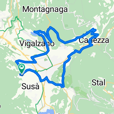
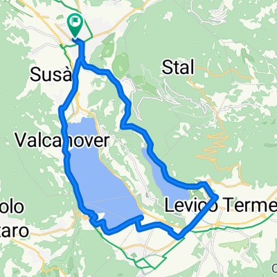
Cycling Route in Pergine Valsugana, Trentino-Alto Adige, Italy

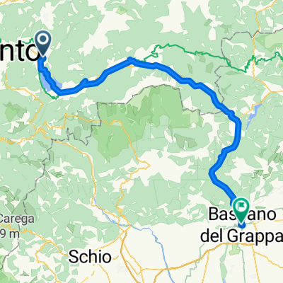
Stage 5 : Lago di Caldonazzo - Mantova

0
Open this route in the Bikemap app

Open this route in the Bikemap app

Open this route in Bikemap Web

Open this route in Bikemap Web

154 km
Distance
409 m
Ascent
836 m
Descent
-:-- h
Duration
-- km/h
Avg. Speed
--- m
Max. Elevation

About This Route

Distance 155 km

Ascent 700m

Reaching the Adige River  south of Trento after just 20km we head south (along the river) passing Rovereto and riding to Torbole (Lago di Garda) through Mori, Lago di Loppio and Nago. From Torbole its a slighty hilly ride along the lake until we reach Peschiera del Garda. From here the Verona airport is just 30km away for those who leave us to catch a flight back home.

The second chunk of the stage follows the river Mincio along flat and slightly descending roads to Mantova where a B&B could be a good option. Distance from Mantova to Verona Airport 45km.

This cycling route is ideal for: Road bike

You will cycle on the following surfaces: Paved

Customize this cycling route with the Bikemap route planner.

Make it yours!

Did you know? You can use this route as a template in our cycling route planner if you don't wish to start from scratch. Customize it based on your needs to plan your perfect cycling tour.

Open it in the app