
Maria Schmolln Rundweg1
A cycling route starting in Altheim, Upper Austria, Austria.
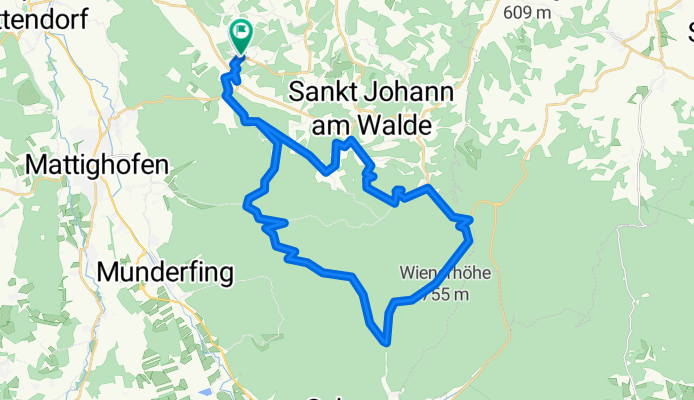
Overview
About this route
Zum Nachfahren nur bedingt zu empfehlen, da mein Navi nicht funktionierte und ein paar mal der Weg "endete".
- -:--
- Duration
- 42.9 km
- Distance
- 710 m
- Ascent
- 715 m
- Descent
- ---
- Avg. speed
- ---
- Avg. speed
Continue with Bikemap
Use, edit, or download this cycling route
You would like to ride Maria Schmolln Rundweg1 or customize it for your own trip? Here is what you can do with this Bikemap route:
Free features
- Save this route as favorite or in collections
- Copy & plan your own version of this route
- Sync your route with Garmin or Wahoo
Premium features
Free trial for 3 days, or one-time payment. More about Bikemap Premium.
- Navigate this route on iOS & Android
- Export a GPX / KML file of this route
- Create your custom printout (try it for free)
- Download this route for offline navigation
Discover more Premium features.
Get Bikemap PremiumFrom our community
Other popular routes starting in Altheim
 Innradweg: Etappe 7: Von Kirchdorf am Inn bis nach Passau
- Distance
- 43.3 km
- Ascent
- 161 m
- Descent
- 198 m
- Location
- Altheim, Upper Austria, Austria
 Freiling 13–15, Gurten nach Römerstraße 2, Reichersberg
- Distance
- 13.7 km
- Ascent
- 197 m
- Descent
- 225 m
- Location
- Altheim, Upper Austria, Austria
 Oberach 53, Altheim nach Oberach 53, Altheim
- Distance
- 10.9 km
- Ascent
- 312 m
- Descent
- 307 m
- Location
- Altheim, Upper Austria, Austria
 🚴♀️E*Bike🇦🇹Altheim-Therme Geinberg Runde 10.10.2018-mit 🎥
- Distance
- 57.7 km
- Ascent
- 281 m
- Descent
- 283 m
- Location
- Altheim, Upper Austria, Austria
 Etapa 055B (Obernberg am Inn - Salzburgo)
- Distance
- 114.1 km
- Ascent
- 842 m
- Descent
- 763 m
- Location
- Altheim, Upper Austria, Austria
 RCO 2012 Römer-Radweg 3. Tag
- Distance
- 68 km
- Ascent
- 452 m
- Descent
- 383 m
- Location
- Altheim, Upper Austria, Austria
 Von Obernberg nach Schärding, Tag 6
- Distance
- 23.1 km
- Ascent
- 89 m
- Descent
- 133 m
- Location
- Altheim, Upper Austria, Austria
 Mühlheim am Inn - Breitenberg 100 km
- Distance
- 100.1 km
- Ascent
- 1,219 m
- Descent
- 878 m
- Location
- Altheim, Upper Austria, Austria
Open it in the app