

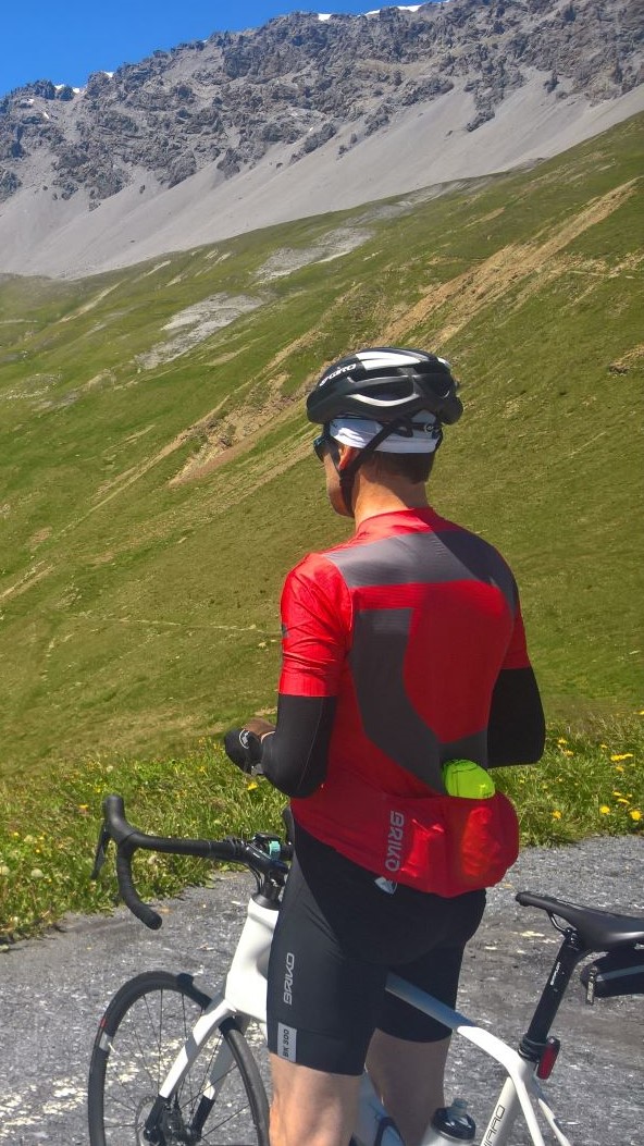
Wien-Tulln + Wienerwald
A cycling route starting in Vienna, Vienna, Austria.
Overview
About this route
Wien-Tulln-Tulbing-Mauerbach-Sophienalpe-Steinriegel-Sievering
- -:--
- Duration
- 75.2 km
- Distance
- 597 m
- Ascent
- 553 m
- Descent
- ---
- Avg. speed
- ---
- Avg. speed
Route quality
Waytypes & surfaces along the route
Waytypes
Busy road
20.3 km
(27 %)
Road
18.6 km
(25 %)
Surfaces
Paved
74.1 km
(99 %)
Unpaved
0.4 km
(<1 %)
Asphalt
74.1 km
(99 %)
Unpaved (undefined)
0.2 km
(<1 %)
Continue with Bikemap
Use, edit, or download this cycling route
You would like to ride Wien-Tulln + Wienerwald or customize it for your own trip? Here is what you can do with this Bikemap route:
Free features
- Save this route as favorite or in collections
- Copy & plan your own version of this route
- Sync your route with Garmin or Wahoo
Premium features
Free trial for 3 days, or one-time payment. More about Bikemap Premium.
- Navigate this route on iOS & Android
- Export a GPX / KML file of this route
- Create your custom printout (try it for free)
- Download this route for offline navigation
Discover more Premium features.
Get Bikemap PremiumFrom our community
Other popular routes starting in Vienna
 Augustiner- u Mostalmtrail über Sophienalpe
- Distance
- 32.1 km
- Ascent
- 540 m
- Descent
- 534 m
- Location
- Vienna, Vienna, Austria
 Donau-Radweg: Wien-Bratislava
- Distance
- 70.9 km
- Ascent
- 332 m
- Descent
- 340 m
- Location
- Vienna, Vienna, Austria
 Tag 3 LUFLA Tour 2025 Wien nach Bratislava
- Distance
- 91 km
- Ascent
- 398 m
- Descent
- 458 m
- Location
- Vienna, Vienna, Austria
 Naschmarkt/Klosterneuburg/St. Andrä/Exelberg
- Distance
- 58.1 km
- Ascent
- 481 m
- Descent
- 481 m
- Location
- Vienna, Vienna, Austria
 Summer Event
- Distance
- 31.4 km
- Ascent
- 186 m
- Descent
- 185 m
- Location
- Vienna, Vienna, Austria
 Eduard-Sueß-Gasse 24–30, Wien nach Eduard-Sueß-Gasse 26, Wien
- Distance
- 38.8 km
- Ascent
- 194 m
- Descent
- 191 m
- Location
- Vienna, Vienna, Austria
 Tour de Vienna
- Distance
- 22 km
- Ascent
- 105 m
- Descent
- 104 m
- Location
- Vienna, Vienna, Austria
 Blaue Leberkäsrunde: Donau-Prater(wirt)
- Distance
- 27.5 km
- Ascent
- 168 m
- Descent
- 180 m
- Location
- Vienna, Vienna, Austria
Open it in the app