

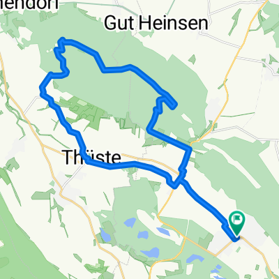
Duingen-Lönsturm-Duingen
A cycling route starting in Duingen, Lower Saxony, Germany.
Overview
About this route
- -:--
- Duration
- 22.1 km
- Distance
- ---
- Ascent
- ---
- Descent
- ---
- Avg. speed
- ---
- Avg. speed
Route quality
Waytypes & surfaces along the route
Waytypes
Track
11.1 km
(50 %)
Quiet road
5.5 km
(25 %)
Surfaces
Paved
8 km
(36 %)
Unpaved
11 km
(50 %)
Gravel
9.4 km
(42 %)
Asphalt
6.3 km
(28 %)
Continue with Bikemap
Use, edit, or download this cycling route
You would like to ride Duingen-Lönsturm-Duingen or customize it for your own trip? Here is what you can do with this Bikemap route:
Free features
- Save this route as favorite or in collections
- Copy & plan your own version of this route
- Sync your route with Garmin or Wahoo
Premium features
Free trial for 3 days, or one-time payment. More about Bikemap Premium.
- Navigate this route on iOS & Android
- Export a GPX / KML file of this route
- Create your custom printout (try it for free)
- Download this route for offline navigation
Discover more Premium features.
Get Bikemap PremiumFrom our community
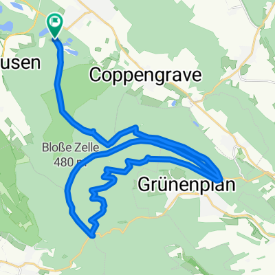
Other popular routes starting in Duingen
 Um die Ithwiesen
- Distance
- 18.4 km
- Ascent
- 288 m
- Descent
- 288 m
- Location
- Duingen, Lower Saxony, Germany
 Bruchsee zurück
- Distance
- 18.6 km
- Ascent
- 374 m
- Descent
- 403 m
- Location
- Duingen, Lower Saxony, Germany
 um die Duinger Seeen
- Distance
- 22 km
- Ascent
- 196 m
- Descent
- 198 m
- Location
- Duingen, Lower Saxony, Germany
 hohgeiss
- Distance
- 110.7 km
- Ascent
- 1,137 m
- Descent
- 793 m
- Location
- Duingen, Lower Saxony, Germany
 Duingen-Lönsturm-Duingen
- Distance
- 22.1 km
- Ascent
- ---
- Descent
- ---
- Location
- Duingen, Lower Saxony, Germany
 Duingen Wald-Roter Fuchs
- Distance
- 32.8 km
- Ascent
- 487 m
- Descent
- 485 m
- Location
- Duingen, Lower Saxony, Germany
 Duinger Wald-Wilhelm Rabbe Turm
- Distance
- 32.5 km
- Ascent
- 434 m
- Descent
- 432 m
- Location
- Duingen, Lower Saxony, Germany
 Unter der Wulfseiche 30, Duingen nach Unter der Wulfseiche 30, Duingen
- Distance
- 7 km
- Ascent
- 73 m
- Descent
- 74 m
- Location
- Duingen, Lower Saxony, Germany
Open it in the app