
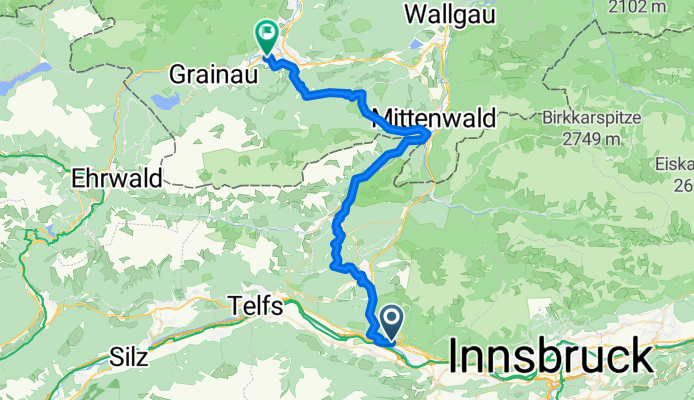
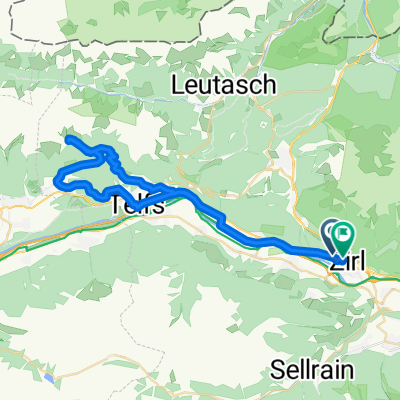
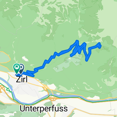
Zirl-Garmisch
A cycling route starting in Zirl, Tyrol, Austria.
Overview
About this route
über Reith, Seefeld, Mittenwald, Elmau
- -:--
- Duration
- 48.2 km
- Distance
- 946 m
- Ascent
- 859 m
- Descent
- ---
- Avg. speed
- ---
- Avg. speed

Route quality
Waytypes & surfaces along the route
Waytypes
Track
24.6 km
(51 %)
Quiet road
10 km
(21 %)
Surfaces
Paved
22.3 km
(46 %)
Unpaved
21.4 km
(44 %)
Asphalt
22.3 km
(46 %)
Gravel
16.8 km
(35 %)
Continue with Bikemap
Use, edit, or download this cycling route
You would like to ride Zirl-Garmisch or customize it for your own trip? Here is what you can do with this Bikemap route:
Free features
- Save this route as favorite or in collections
- Copy & plan your own version of this route
- Sync your route with Garmin or Wahoo
Premium features
Free trial for 3 days, or one-time payment. More about Bikemap Premium.
- Navigate this route on iOS & Android
- Export a GPX / KML file of this route
- Create your custom printout (try it for free)
- Download this route for offline navigation
Discover more Premium features.
Get Bikemap PremiumFrom our community
Other popular routes starting in Zirl
 Zirl Radfahren
- Distance
- 0 km
- Ascent
- 0 m
- Descent
- 0 m
- Location
- Zirl, Tyrol, Austria
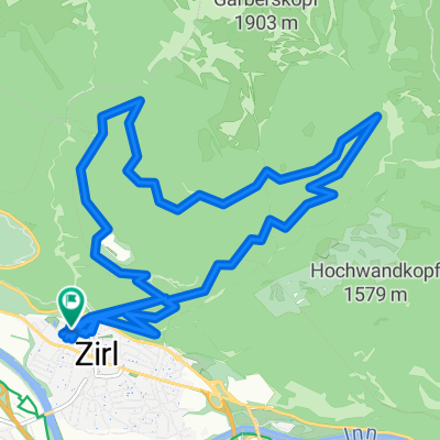
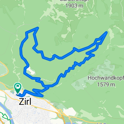 Zirl Radfahren
- Distance
- 16.1 km
- Ascent
- 800 m
- Descent
- 797 m
- Location
- Zirl, Tyrol, Austria
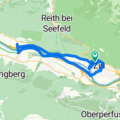
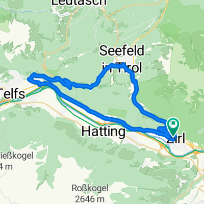 Zirl - Seefeld - Ober Pettnau - Zirl
- Distance
- 32.8 km
- Ascent
- 703 m
- Descent
- 711 m
- Location
- Zirl, Tyrol, Austria
 Zirl Radfahren
- Distance
- 49.7 km
- Ascent
- 958 m
- Descent
- 916 m
- Location
- Zirl, Tyrol, Austria
 Zirl Radfahren
- Distance
- 18.1 km
- Ascent
- 805 m
- Descent
- 825 m
- Location
- Zirl, Tyrol, Austria
 Zirl Radfahren
- Distance
- 16.9 km
- Ascent
- 76 m
- Descent
- 76 m
- Location
- Zirl, Tyrol, Austria
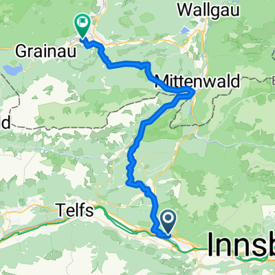 Zirl-Garmisch
- Distance
- 48.2 km
- Ascent
- 946 m
- Descent
- 859 m
- Location
- Zirl, Tyrol, Austria
 Zirl Magdeburgerhütte
- Distance
- 21.5 km
- Ascent
- 1,024 m
- Descent
- 1,033 m
- Location
- Zirl, Tyrol, Austria
Open it in the app