

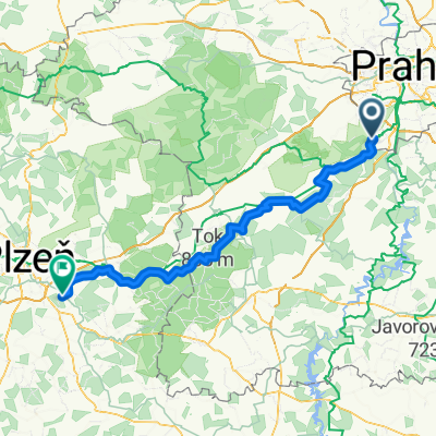
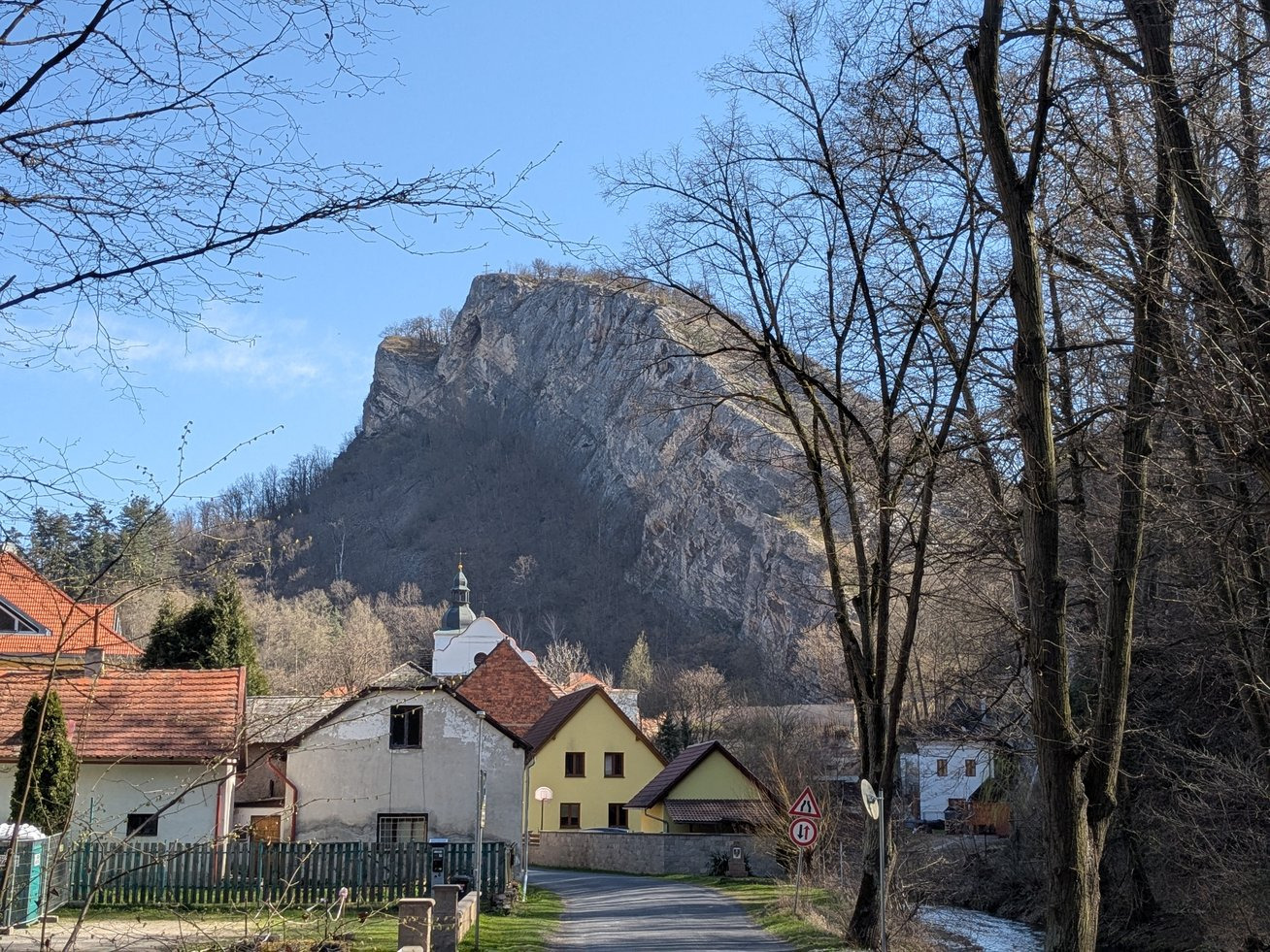
Radotin - Karlstejn
A cycling route starting in Černošice, Central Bohemia, Czechia.
Overview
About this route
- -:--
- Duration
- 17.3 km
- Distance
- 488 m
- Ascent
- 441 m
- Descent
- ---
- Avg. speed
- ---
- Avg. speed

Route quality
Waytypes & surfaces along the route
Waytypes
Track
6.5 km
(38 %)
Path
4.8 km
(28 %)
Surfaces
Paved
3.1 km
(18 %)
Unpaved
10.2 km
(59 %)
Ground
6.8 km
(39 %)
Asphalt
3.1 km
(18 %)
Continue with Bikemap
Use, edit, or download this cycling route
You would like to ride Radotin - Karlstejn or customize it for your own trip? Here is what you can do with this Bikemap route:
Free features
- Save this route as favorite or in collections
- Copy & plan your own version of this route
- Sync your route with Garmin or Wahoo
Premium features
Free trial for 3 days, or one-time payment. More about Bikemap Premium.
- Navigate this route on iOS & Android
- Export a GPX / KML file of this route
- Create your custom printout (try it for free)
- Download this route for offline navigation
Discover more Premium features.
Get Bikemap PremiumFrom our community
Other popular routes starting in Černošice
 Radtour 2025 - Etappe 5
- Distance
- 21.4 km
- Ascent
- 109 m
- Descent
- 107 m
- Location
- Černošice, Central Bohemia, Czechia
 Kolem Prahy
- Distance
- 80.2 km
- Ascent
- 554 m
- Descent
- 554 m
- Location
- Černošice, Central Bohemia, Czechia
 Přes Srbsko se Zdeňkem
- Distance
- 53.3 km
- Ascent
- 493 m
- Descent
- 533 m
- Location
- Černošice, Central Bohemia, Czechia
 Jílové, Davle a Všenory
- Distance
- 61.7 km
- Ascent
- 853 m
- Descent
- 901 m
- Location
- Černošice, Central Bohemia, Czechia
 Beroun a Chýňava
- Distance
- 71.6 km
- Ascent
- 542 m
- Descent
- 578 m
- Location
- Černošice, Central Bohemia, Czechia
 K Lázním, Praha 16 do Cedrová, Jesenice
- Distance
- 29.3 km
- Ascent
- 223 m
- Descent
- 66 m
- Location
- Černošice, Central Bohemia, Czechia
 Radtour 2025 - Etappe 4
- Distance
- 98.4 km
- Ascent
- 1,620 m
- Descent
- 1,395 m
- Location
- Černošice, Central Bohemia, Czechia
 Svatý Jan pod Skalou
- Distance
- 57.4 km
- Ascent
- 713 m
- Descent
- 746 m
- Location
- Černošice, Central Bohemia, Czechia
Open it in the app