

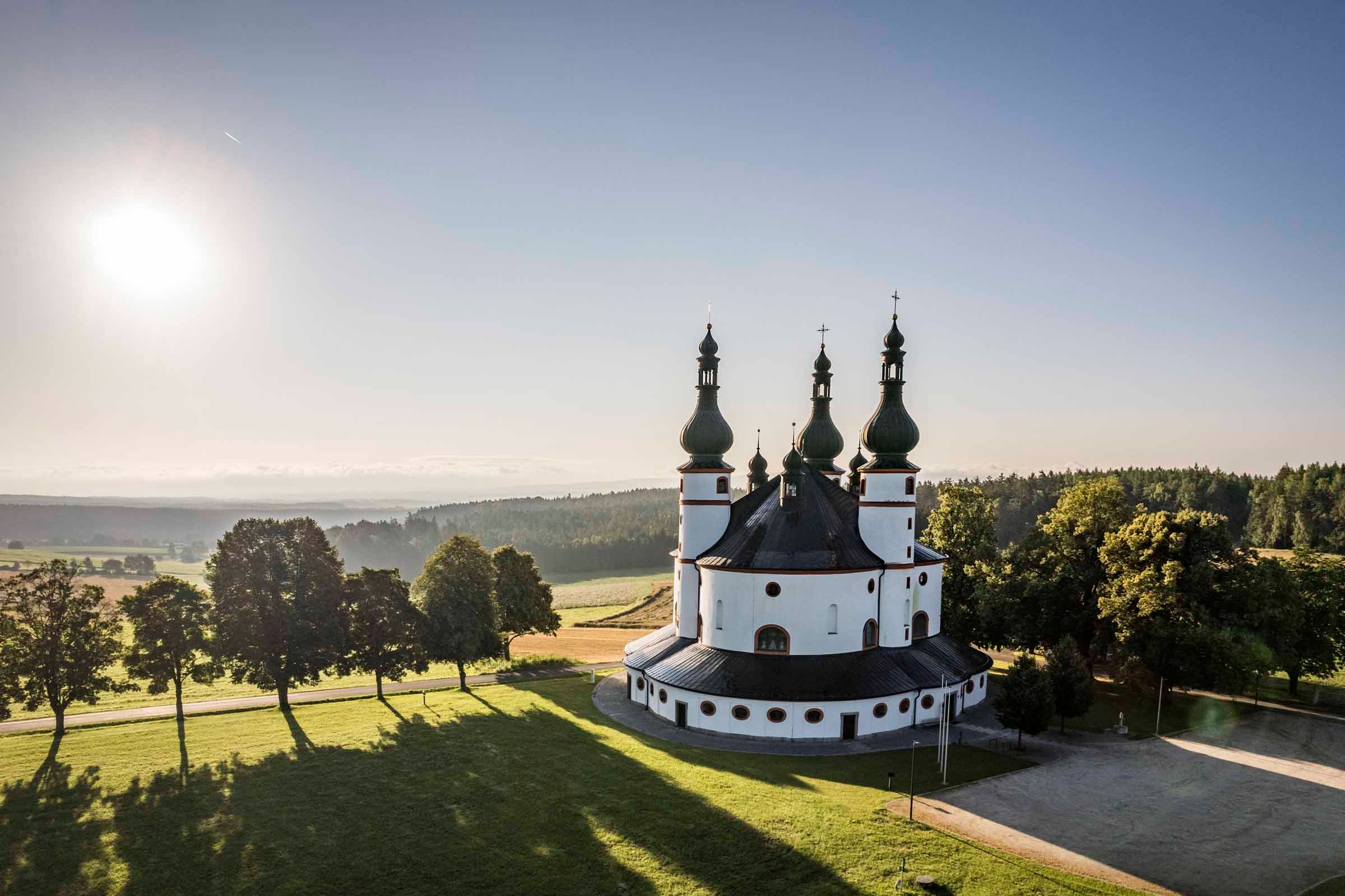
Altmühl Donau Runde - MH - Burglengenfeld - Parsberg - Dietfurt - Riedenburg - Kelheim - Regensburg - Regenstauf
A cycling route starting in Maxhütte-Haidhof, Bavaria, Germany.
Overview
About this route
- -:--
- Duration
- 147.9 km
- Distance
- 426 m
- Ascent
- 427 m
- Descent
- ---
- Avg. speed
- ---
- Avg. speed

Route quality
Waytypes & surfaces along the route
Waytypes
Track
37.3 km
(25 %)
Quiet road
33.3 km
(23 %)
Surfaces
Paved
89.2 km
(60 %)
Unpaved
42.9 km
(29 %)
Asphalt
80.3 km
(54 %)
Gravel
28.6 km
(19 %)
Continue with Bikemap
Use, edit, or download this cycling route
You would like to ride Altmühl Donau Runde - MH - Burglengenfeld - Parsberg - Dietfurt - Riedenburg - Kelheim - Regensburg - Regenstauf or customize it for your own trip? Here is what you can do with this Bikemap route:
Free features
- Save this route as favorite or in collections
- Copy & plan your own version of this route
- Sync your route with Garmin or Wahoo
Premium features
Free trial for 3 days, or one-time payment. More about Bikemap Premium.
- Navigate this route on iOS & Android
- Export a GPX / KML file of this route
- Create your custom printout (try it for free)
- Download this route for offline navigation
Discover more Premium features.
Get Bikemap PremiumFrom our community
Other popular routes starting in Maxhütte-Haidhof
 5Flüsse_2018
- Distance
- 323.4 km
- Ascent
- 474 m
- Descent
- 474 m
- Location
- Maxhütte-Haidhof, Bavaria, Germany
 Arber and back - MH - Nittenau - Roding - Cham - Bad Kötzting - Lam
- Distance
- 210.3 km
- Ascent
- 464 m
- Descent
- 468 m
- Location
- Maxhütte-Haidhof, Bavaria, Germany
 SAD Runde - MH - Kallmünz - Schmidmühlen - Schwandorf - Steinberg
- Distance
- 74.6 km
- Ascent
- 397 m
- Descent
- 397 m
- Location
- Maxhütte-Haidhof, Bavaria, Germany
 Maxhütte Marienthal
- Distance
- 23.7 km
- Ascent
- 477 m
- Descent
- 479 m
- Location
- Maxhütte-Haidhof, Bavaria, Germany
 Ponholz Gasthof Alte Post, Maxhütte-Haidhof nach Hagenauer Straße 2, Maxhütte-Haidhof
- Distance
- 6.4 km
- Ascent
- 91 m
- Descent
- 89 m
- Location
- Maxhütte-Haidhof, Bavaria, Germany
 Parkstein - MH - SAD - Weiden - Parkstein - Amberg - Regensburg
- Distance
- 238.8 km
- Ascent
- 2,355 m
- Descent
- 2,354 m
- Location
- Maxhütte-Haidhof, Bavaria, Germany
 Training - Nittenau - Karlstein
- Distance
- 48.8 km
- Ascent
- 367 m
- Descent
- 361 m
- Location
- Maxhütte-Haidhof, Bavaria, Germany
 Waldsassen - MH - Weiden - Windischeschenbach - Tirschenreuth - Waldsassen - Vohenstrauß
- Distance
- 273 km
- Ascent
- 2,598 m
- Descent
- 2,600 m
- Location
- Maxhütte-Haidhof, Bavaria, Germany
Open it in the app