Cycling Route in Zagórzyce, Subcarpathian Voivodeship, Poland
widokowa podróż z snickersem
0

Open this route in the Bikemap app

Open this route in Bikemap Web
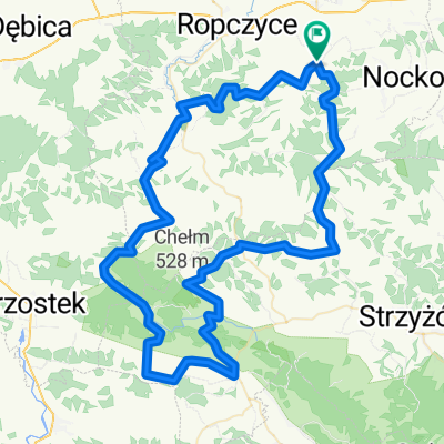
68
km
Distance
Distance
673
m
Ascent
Ascent
672
m
Descent
Descent
-:--
h
Duration
Duration
--
km/h
Avg. Speed
Avg. Speed
---
m
Max. Elevation
Max. Elevation