

Achensee-Dietramszell
A cycling route starting in Achenkirch, Tyrol, Austria.
Overview
About this route
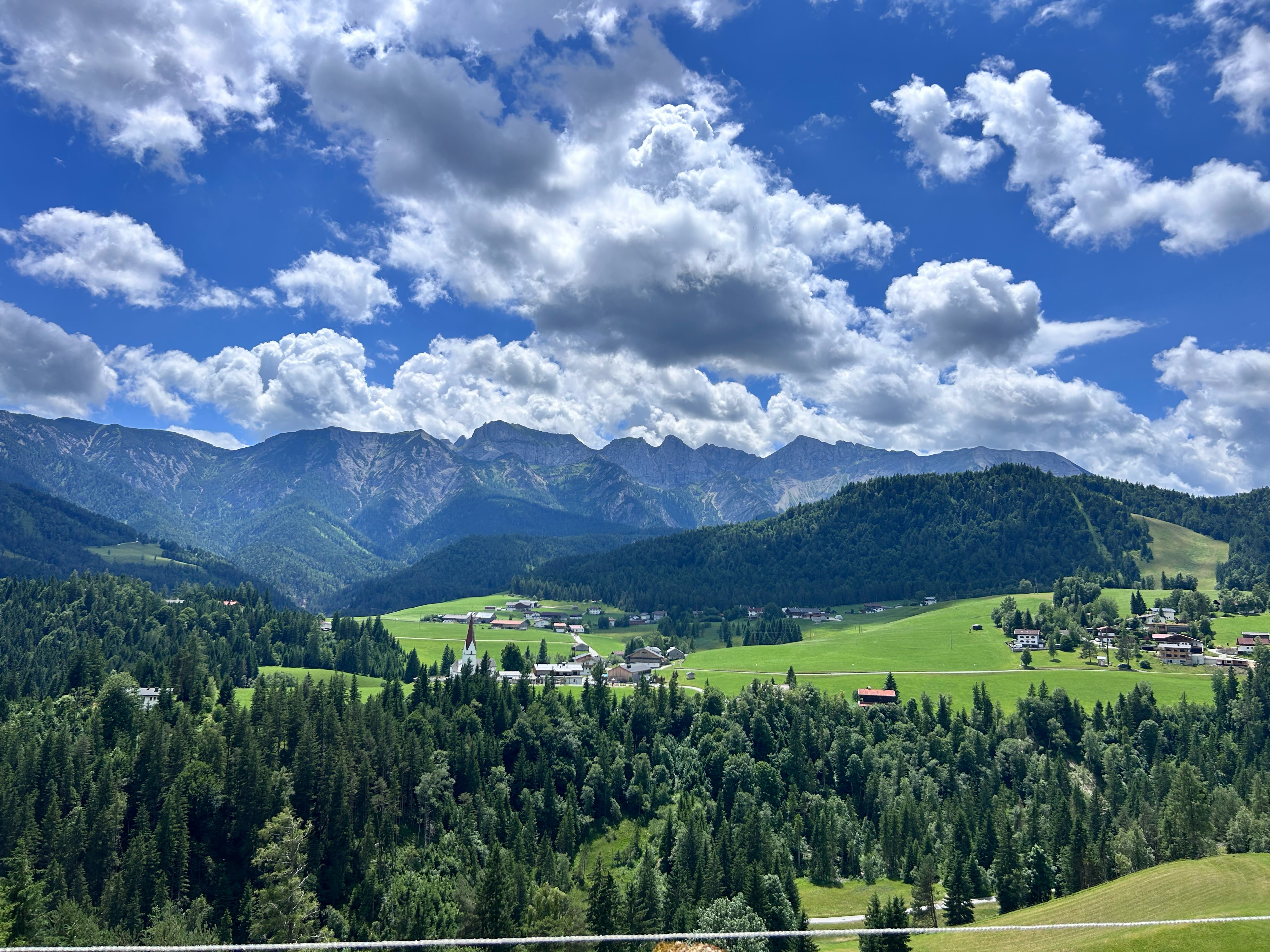
Vom Achensee über Sylvenstein nach Dietramszell
- -:--
- Duration
- 54.9 km
- Distance
- 176 m
- Ascent
- 390 m
- Descent
- ---
- Avg. speed
- ---
- Avg. speed
Route quality
Waytypes & surfaces along the route
Waytypes
Cycleway
13.5 km
(25 %)
Track
12.7 km
(23 %)
Surfaces
Paved
30 km
(55 %)
Unpaved
19.9 km
(36 %)
Asphalt
29.5 km
(54 %)
Gravel
10.7 km
(19 %)
Continue with Bikemap
Use, edit, or download this cycling route
You would like to ride Achensee-Dietramszell or customize it for your own trip? Here is what you can do with this Bikemap route:
Free features
- Save this route as favorite or in collections
- Copy & plan your own version of this route
- Sync your route with Garmin or Wahoo
Premium features
Free trial for 3 days, or one-time payment. More about Bikemap Premium.
- Navigate this route on iOS & Android
- Export a GPX / KML file of this route
- Create your custom printout (try it for free)
- Download this route for offline navigation
Discover more Premium features.
Get Bikemap PremiumFrom our community
Other popular routes starting in Achenkirch
 Achenkirch - Gern Alm
- Distance
- 21.5 km
- Ascent
- 334 m
- Descent
- 108 m
- Location
- Achenkirch, Tyrol, Austria
 große Steinbergrunde
- Distance
- 22.9 km
- Ascent
- 606 m
- Descent
- 558 m
- Location
- Achenkirch, Tyrol, Austria
 Route 454 zu Falkenhütte, Rückweg über Ladierertal
- Distance
- 28.8 km
- Ascent
- 965 m
- Descent
- 965 m
- Location
- Achenkirch, Tyrol, Austria
 Walchensee
- Distance
- 47.3 km
- Ascent
- 611 m
- Descent
- 689 m
- Location
- Achenkirch, Tyrol, Austria
 Achenseestraße, Achenkirch nach Achenseestraße, Achenkirch
- Distance
- 49.2 km
- Ascent
- 1,323 m
- Descent
- 1,320 m
- Location
- Achenkirch, Tyrol, Austria
 Guffert
- Distance
- 47.8 km
- Ascent
- 1,149 m
- Descent
- 1,149 m
- Location
- Achenkirch, Tyrol, Austria
 Sylvenstein - Juifen
- Distance
- 45.2 km
- Ascent
- 1,265 m
- Descent
- 1,274 m
- Location
- Achenkirch, Tyrol, Austria
 Unnütz - Guffertrunde
- Distance
- 71.2 km
- Ascent
- 1,726 m
- Descent
- 1,726 m
- Location
- Achenkirch, Tyrol, Austria
Open it in the app