

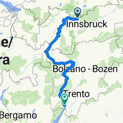
B33STZ-Leutasch-Gaistal zur Ehrwalder Alm
A cycling route starting in Leutasch, Tyrol, Austria.
Overview
About this route
zum Teil bereits gefahren
ggf Abstecher zum Igelsee
In Uhrzeigersinn fahren
- -:--
- Duration
- 42.4 km
- Distance
- 732 m
- Ascent
- 732 m
- Descent
- ---
- Avg. speed
- ---
- Avg. speed

Route quality
Waytypes & surfaces along the route
Waytypes
Track
28.8 km
(68 %)
Quiet road
5.8 km
(14 %)
Surfaces
Paved
7.2 km
(17 %)
Unpaved
33.9 km
(80 %)
Gravel
28.8 km
(68 %)
Asphalt
6.5 km
(15 %)
Route highlights
Points of interest along the route
Point of interest after 13.1 km
Gaistalalm
Point of interest after 19.5 km
Igelsee
Point of interest after 23.1 km
Ehrwalder Alm
Point of interest after 29.3 km
Tillfussalm
Continue with Bikemap
Use, edit, or download this cycling route
You would like to ride B33STZ-Leutasch-Gaistal zur Ehrwalder Alm or customize it for your own trip? Here is what you can do with this Bikemap route:
Free features
- Save this route as favorite or in collections
- Copy & plan your own version of this route
- Sync your route with Garmin or Wahoo
Premium features
Free trial for 3 days, or one-time payment. More about Bikemap Premium.
- Navigate this route on iOS & Android
- Export a GPX / KML file of this route
- Create your custom printout (try it for free)
- Download this route for offline navigation
Discover more Premium features.
Get Bikemap PremiumFrom our community
Other popular routes starting in Leutasch
 Ahrnspitzrunde Elmau Kranzbergrunde
- Distance
- 50.5 km
- Ascent
- 516 m
- Descent
- 519 m
- Location
- Leutasch, Tyrol, Austria
 Kühtai
- Distance
- 117 km
- Ascent
- 2,486 m
- Descent
- 2,504 m
- Location
- Leutasch, Tyrol, Austria
 Wettersteinrunde - Moser Tour Nr 37 CLONED FROM ROUTE 47855 CLONED FROM ROUTE 512664
- Distance
- 75.4 km
- Ascent
- 1,503 m
- Descent
- 1,503 m
- Location
- Leutasch, Tyrol, Austria
 Leutasch I
- Distance
- 24.9 km
- Ascent
- 582 m
- Descent
- 580 m
- Location
- Leutasch, Tyrol, Austria
 Von Leutasch / Salzbach durch's Gaistal zum Seebensee
- Distance
- 29.2 km
- Ascent
- 675 m
- Descent
- 677 m
- Location
- Leutasch, Tyrol, Austria
 Leutasch - Seebensee
- Distance
- 20.5 km
- Ascent
- 608 m
- Descent
- 67 m
- Location
- Leutasch, Tyrol, Austria
 Wettersteinrunde - Moser Tour Nr 37 CLONED FROM ROUTE 47855 CLONED FROM ROUTE 512664
- Distance
- 75.3 km
- Ascent
- 1,506 m
- Descent
- 1,506 m
- Location
- Leutasch, Tyrol, Austria
 Mittelschwerer Alpencross X10 via Brenta Dolomiti Aktualisiert am 15.09.2015
- Distance
- 381.9 km
- Ascent
- 12,208 m
- Descent
- 13,247 m
- Location
- Leutasch, Tyrol, Austria
Open it in the app