Premium Badge Download on the App Store Get it on Google Play Turn-by-turn Navigation Offline Maps Bike Type Optimized Routing Premium Maps Custom Bike Computer Export Routes Route Previews Fall Detection Premium Support

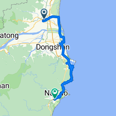
Cycling Route in Yilan, Taiwan, Taiwan
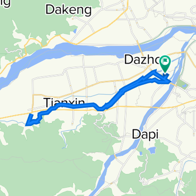
櫻花陵園

0
Open this route in the Bikemap app

Open this route in the Bikemap app

Open this route in Bikemap Web

Open this route in Bikemap Web

26 km
Distance
819 m
Ascent
35 m
Descent
-:-- h
Duration
-- km/h
Avg. Speed
--- m
Max. Elevation

About This Route

第一天: 備援路線(中級路線):頭城 – 縣道191 – 至宜蘭轉縣道192-接大坡路直上櫻花陵園第一天: 備援路線(中級路線):頭城 – 縣道191 – 至宜蘭轉縣道192-接大坡路直上櫻花陵園

This cycling route is ideal for: Road bike

You will cycle on the following surfaces: Unpaved

Customize this cycling route with the Bikemap route planner.

Make it yours!

Did you know? You can use this route as a template in our cycling route planner if you don't wish to start from scratch. Customize it based on your needs to plan your perfect cycling tour.

Open it in the app