

Reichraminger Hintergebirge
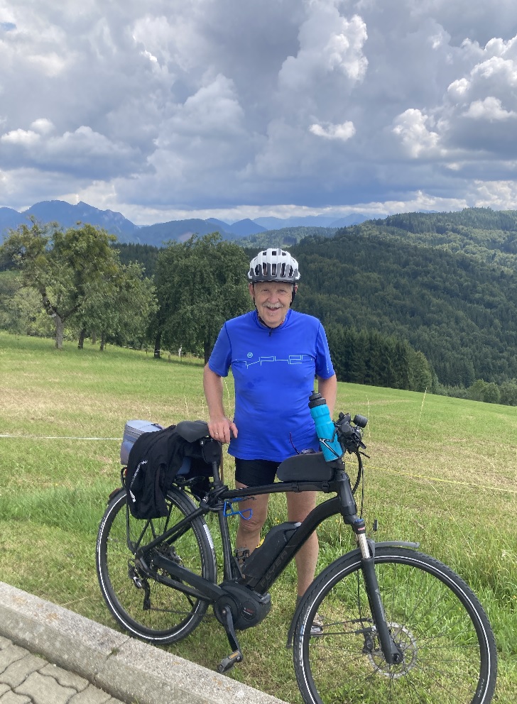
A cycling route starting in Reichraming, Upper Austria, Austria.
Overview
About this route
Reichraming bis zum Schleierfall dann Schleife zurück über Brunnbach und wieder zurück nach Reichraming
42,7 km 610 hm
- -:--
- Duration
- 42.7 km
- Distance
- 549 m
- Ascent
- 538 m
- Descent
- ---
- Avg. speed
- ---
- Avg. speed
Route quality
Waytypes & surfaces along the route
Waytypes
Track
30.2 km
(71 %)
Road
10.7 km
(25 %)
Surfaces
Paved
0.1 km
(<1 %)
Unpaved
30 km
(70 %)
Gravel
29.1 km
(68 %)
Loose gravel
0.9 km
(2 %)
Continue with Bikemap
Use, edit, or download this cycling route
You would like to ride Reichraminger Hintergebirge or customize it for your own trip? Here is what you can do with this Bikemap route:
Free features
- Save this route as favorite or in collections
- Copy & plan your own version of this route
- Sync your route with Garmin or Wahoo
Premium features
Free trial for 3 days, or one-time payment. More about Bikemap Premium.
- Navigate this route on iOS & Android
- Export a GPX / KML file of this route
- Create your custom printout (try it for free)
- Download this route for offline navigation
Discover more Premium features.
Get Bikemap PremiumFrom our community
Other popular routes starting in Reichraming
 Ebenforstalm
- Distance
- 46.6 km
- Ascent
- 1,307 m
- Descent
- 1,301 m
- Location
- Reichraming, Upper Austria, Austria
 Reichraming - Anlaufalm
- Distance
- 56.6 km
- Ascent
- 2,203 m
- Descent
- 2,103 m
- Location
- Reichraming, Upper Austria, Austria
 reichraming - anlaufalm retour
- Distance
- 44.1 km
- Ascent
- 859 m
- Descent
- 809 m
- Location
- Reichraming, Upper Austria, Austria
 2020-09-05 4:02
- Distance
- 58.3 km
- Ascent
- 1,227 m
- Descent
- 1,229 m
- Location
- Reichraming, Upper Austria, Austria
 Reichraming zu den Schleierfällen
- Distance
- 20.2 km
- Ascent
- 558 m
- Descent
- 299 m
- Location
- Reichraming, Upper Austria, Austria
 Hintergebirgsrunde
- Distance
- 36.1 km
- Ascent
- 1,059 m
- Descent
- 1,055 m
- Location
- Reichraming, Upper Austria, Austria
 Breitenau, Ebenforstalm, Breitenau
- Distance
- 24.2 km
- Ascent
- 690 m
- Descent
- 683 m
- Location
- Reichraming, Upper Austria, Austria
 TopSix Marathon Reichraming
- Distance
- 50.4 km
- Ascent
- 1,264 m
- Descent
- 1,264 m
- Location
- Reichraming, Upper Austria, Austria
Open it in the app