Premium Badge Download on the App Store Get it on Google Play Turn-by-turn Navigation Offline Maps Bike Type Optimized Routing Premium Maps Custom Bike Computer Export Routes Route Previews Fall Detection Premium Support

Cycling Route in Reichraming, Upper Austria, Austria

Reichraminger Hintergebirge Mooshöhe
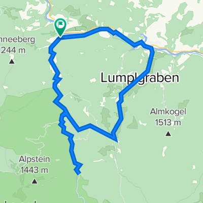
0
Open this route in the Bikemap app

Open this route in the Bikemap app

Open this route in Bikemap Web

Open this route in Bikemap Web

50 km
Distance
600 m
Ascent
593 m
Descent
-:-- h
Duration
-- km/h
Avg. Speed
--- m
Max. Elevation

About This Route

Reichraming entlang Trasse Holztransportbahn bis nach Weisswasser hinauf auf die Mooshöhe 

wieder zurück nach Reichraming

50,4 km / 640 hm

This cycling route is ideal for: MTB City bike

You will cycle on the following surfaces: Gravel

This route is based on Reichraminger Hintergebirge .

Customize this cycling route with the Bikemap route planner.

Make it yours!

Did you know? You can use this route as a template in our cycling route planner if you don't wish to start from scratch. Customize it based on your needs to plan your perfect cycling tour.

Open it in the app