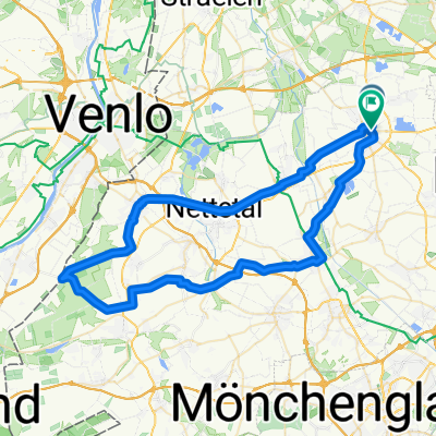
Cycling Route in Kempen, North Rhine-Westphalia, Germany
A09-Berg und Tal
1

Open this route in the Bikemap app

Open this route in Bikemap Web
39
km
Distance
Distance
223
m
Ascent
Ascent
225
m
Descent
Descent
-:--
h
Duration
Duration
--
km/h
Avg. Speed
Avg. Speed
73
m
Max. Elevation
Max. Elevation