
BORDERS MARAUDERS 2010
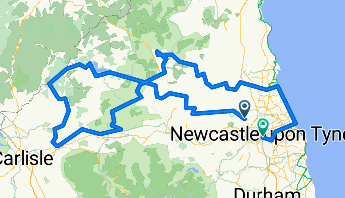
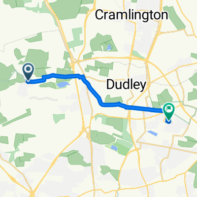
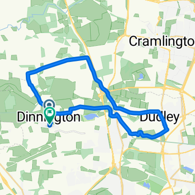
A cycling route starting in Dinnington, England, United Kingdom.
Overview
About this route
D1; NEWCASTLE AIRPORT - BILLINGHAM (Riverdale Hotel) = 33 miles
D2; BILLINGHAM - KIELDER WATER - KERSHOPE BRIDGE (Scoltland) - BAILEY MILL - BRAMPTON (Carlisle by bus rtn) = 46 miles (79)
D3; BRAMPTON - ONCE BREWED - OTTERBURN (Hall Hotel) = 47 miles (126)
D4; OTTERBURN - BLYTH - TYNEMOUTH - NEWCASTLE (Millenium Bridge) = 63 miles (189 total)
189 MILES TOTAL = 6070 CUMULATIVE FEET CLIMB
MAX CLIMBS; 695 / 725 / 833 / 1150 / 935 / 990 / 705 FEET = 6070 CUMULATIVE TOTAL
- -:--
- Duration
- 304.6 km
- Distance
- 933 m
- Ascent
- 1,001 m
- Descent
- ---
- Avg. speed
- ---
- Avg. speed

Route quality
Waytypes & surfaces along the route
Waytypes
Quiet road
117.8 km
(39 %)
Road
80.3 km
(26 %)
Surfaces
Paved
72.9 km
(24 %)
Unpaved
8.3 km
(3 %)
Asphalt
68.3 km
(22 %)
Gravel
8.3 km
(3 %)
Continue with Bikemap
Use, edit, or download this cycling route
You would like to ride BORDERS MARAUDERS 2010 or customize it for your own trip? Here is what you can do with this Bikemap route:
Free features
- Save this route as favorite or in collections
- Copy & plan your own version of this route
- Sync your route with Garmin or Wahoo
Premium features
Free trial for 3 days, or one-time payment. More about Bikemap Premium.
- Navigate this route on iOS & Android
- Export a GPX / KML file of this route
- Create your custom printout (try it for free)
- Download this route for offline navigation
Discover more Premium features.
Get Bikemap PremiumFrom our community
Other popular routes starting in Dinnington
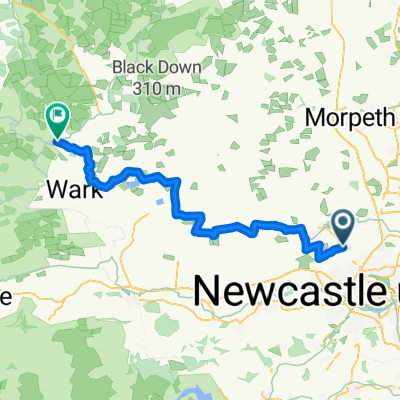 Callerton Parkway- Bellingham Reivers Route
- Distance
- 55.8 km
- Ascent
- 401 m
- Descent
- 356 m
- Location
- Dinnington, England, United Kingdom
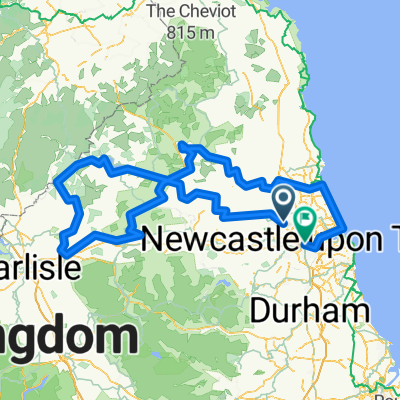 BORDERS MARAUDERS 2010
- Distance
- 304.6 km
- Ascent
- 933 m
- Descent
- 1,001 m
- Location
- Dinnington, England, United Kingdom
 wylam loop
- Distance
- 57.2 km
- Ascent
- 394 m
- Descent
- 394 m
- Location
- Dinnington, England, United Kingdom
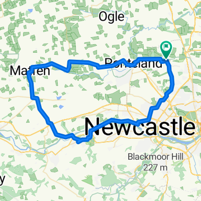
 Dinnington - Bellingham - Elsdon
- Distance
- 116.1 km
- Ascent
- 762 m
- Descent
- 764 m
- Location
- Dinnington, England, United Kingdom
 11 East Acres, Newcastle Upon Tyne to 13 Knivestone Ct, Newcastle Upon Tyne
- Distance
- 8.8 km
- Ascent
- 54 m
- Descent
- 26 m
- Location
- Dinnington, England, United Kingdom
 Steady ride in Newcastle Upon Tyne
- Distance
- 18.8 km
- Ascent
- 12 m
- Descent
- 50 m
- Location
- Dinnington, England, United Kingdom
 BfCiC Borders Ride June 2010
- Distance
- 317.1 km
- Ascent
- 919 m
- Descent
- 987 m
- Location
- Dinnington, England, United Kingdom
 Dinnington Bolam loop
- Distance
- 69.5 km
- Ascent
- 374 m
- Descent
- 377 m
- Location
- Dinnington, England, United Kingdom
Open it in the app