Cycling Route in Linares, Andalusia, Spain
1 ETAPA MARZO 2017
0

Open this route in the Bikemap app

Open this route in Bikemap Web
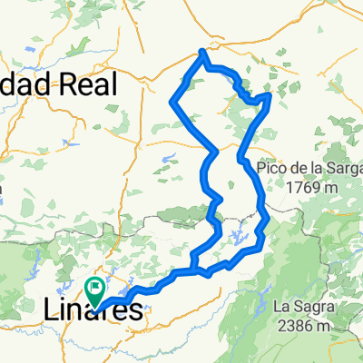
53
km
Distance
Distance
664
m
Ascent
Ascent
668
m
Descent
Descent
-:--
h
Duration
Duration
--
km/h
Avg. Speed
Avg. Speed
---
m
Max. Elevation
Max. Elevation