

Recording from 17:19, 1 February
A cycling route starting in Kuala Lumpur, Kuala Lumpur, Malaysia.
Overview
About this route
hutan kemensah
- 1 h 38 min
- Duration
- 19.9 km
- Distance
- 265 m
- Ascent
- 271 m
- Descent
- 12.2 km/h
- Avg. speed
- ---
- Avg. speed

Route highlights
Points of interest along the route

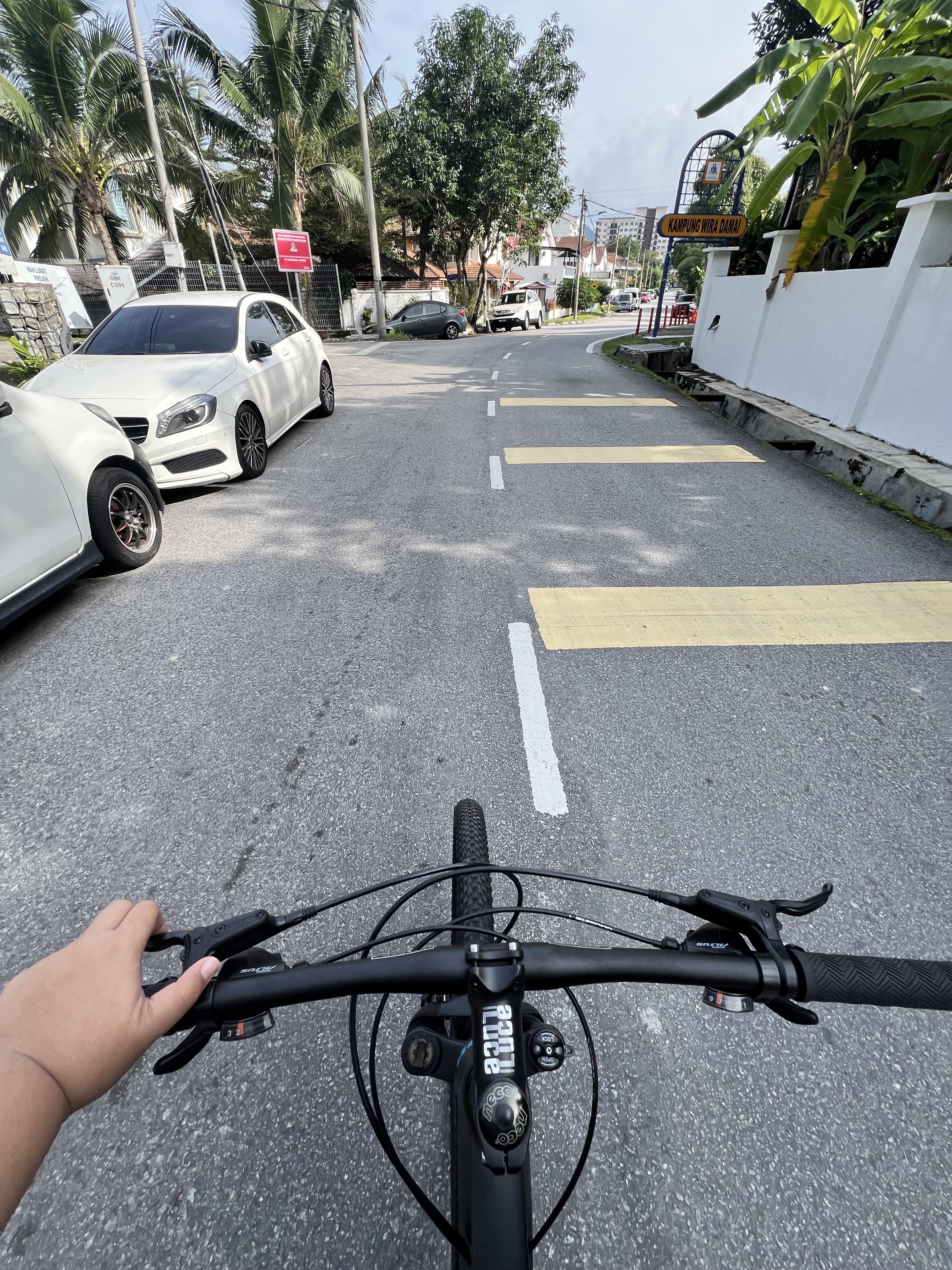
Photo after 12.6 km
Continue with Bikemap
Use, edit, or download this cycling route
You would like to ride Recording from 17:19, 1 February or customize it for your own trip? Here is what you can do with this Bikemap route:
Free features
- Save this route as favorite or in collections
- Copy & plan your own version of this route
- Sync your route with Garmin or Wahoo
Premium features
Free trial for 3 days, or one-time payment. More about Bikemap Premium.
- Navigate this route on iOS & Android
- Export a GPX / KML file of this route
- Create your custom printout (try it for free)
- Download this route for offline navigation
Discover more Premium features.
Get Bikemap PremiumFrom our community
Other popular routes starting in Kuala Lumpur
 Desa Parkcity Loop
- Distance
- 10.1 km
- Ascent
- 270 m
- Descent
- 268 m
- Location
- Kuala Lumpur, Kuala Lumpur, Malaysia
 Lake to Lake
- Distance
- 16.1 km
- Ascent
- 237 m
- Descent
- 237 m
- Location
- Kuala Lumpur, Kuala Lumpur, Malaysia
 Route to Suria KLCC
- Distance
- 11.4 km
- Ascent
- 220 m
- Descent
- 257 m
- Location
- Kuala Lumpur, Kuala Lumpur, Malaysia
 KL City Center Tour
- Distance
- 27.4 km
- Ascent
- 701 m
- Descent
- 701 m
- Location
- Kuala Lumpur, Kuala Lumpur, Malaysia
 Jalan Bunga Tanjung, Batu Caves to Jalan Bunga Tanjung, Batu Caves
- Distance
- 9.4 km
- Ascent
- 90 m
- Descent
- 98 m
- Location
- Kuala Lumpur, Kuala Lumpur, Malaysia
 KL City Center Tour
- Distance
- 25.4 km
- Ascent
- 646 m
- Descent
- 646 m
- Location
- Kuala Lumpur, Kuala Lumpur, Malaysia
 Jalan Bunga Tanjung, Batu Caves to Jalan Bunga Tanjung, Batu Caves
- Distance
- 5.4 km
- Ascent
- 52 m
- Descent
- 47 m
- Location
- Kuala Lumpur, Kuala Lumpur, Malaysia
 Jalan Bunga Tanjung, Batu Caves to Jalan Bunga Tanjung, Batu Caves
- Distance
- 8.2 km
- Ascent
- 123 m
- Descent
- 125 m
- Location
- Kuala Lumpur, Kuala Lumpur, Malaysia
Open it in the app